North western America showing the territory ceded by Russia to the United States
The map the Coast Survey prepared in 1867 still referred to Alaska as “Northwestern America.”
The Russian settlements are underlined in red.
The Esquimaux settlements are underlined in blue.
With two inset maps: Sitka and its approaches from the Russian and British authorities; and an untitled map showing the North Pacific Ocean including the great circle line from Hakodadi, Japan to San Francisco, California.
(NOAA/National Archives) Author: United States Coast Survey (1867)
Location: Alaska, Sitka (Alaska)
This purchase increased the nation's size by 586,412 square miles (about two Texas's).
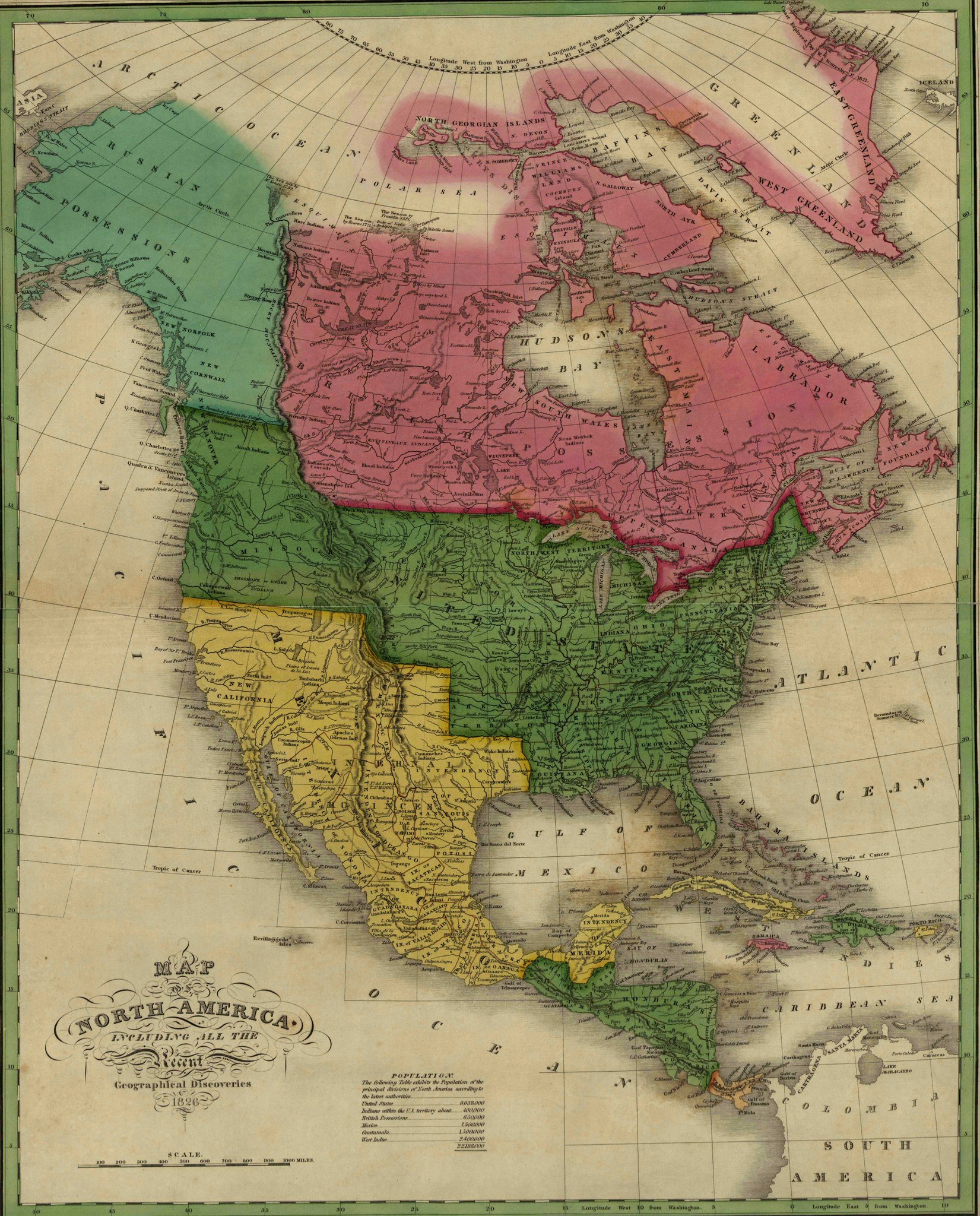
North America in 1826
The treaty with Russia was brokered by William Seward, the ardently expansionist Secretary of State under President Andrew Johnson.
Many critics believed the land to be barren and worthless, and dubbed the purchase “Seward’s Folly,” "Seward’s Icebox," and “Andrew Johnson’s Polar Bear Garden,” among other ice-cold names.
These critics cooled off following the Klondike Gold Strike in 1896.


No comments:
Post a Comment