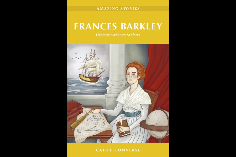
Frances Barkley: An Eighteenth-century Seafarer by Cathy Converse.
Now author Cathy Converse has written a new work of creative non-fiction based on that journal called Frances Barkley: An Eighteenth-century Seafarer, set to be launched at the Maritime Museum of B.C.
on May 12 at 4 p.m. (Details at mmbc.bc.ca.)
Heritage House
From Times Colonist by Cathy Converse
Frances Barkley was determined not to be separated from her merchant mariner husband, so in November 1786, she joined him on an eight-year sea voyage that would take them around the world twice Over 200 years ago,
Frances Barkley, a 17-year-old girl fresh out of a convent school in France, met a 26-year-old sea captain, fell in love, and married him after a six-week courtship.
Determined not to be separated from her new husband, five weeks later, in November 1786, she set sail on his ship, a 400-ton, three-masted sailing ship called the Imperial Eagle, on an eight-year voyage that would take them around the world twice as they traded in sea otter pelts, Chinese tea, silk, porcelain, and cotton.
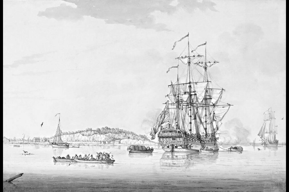
A British East Indiaman, 1770s, by Francis Swaine. Public domain
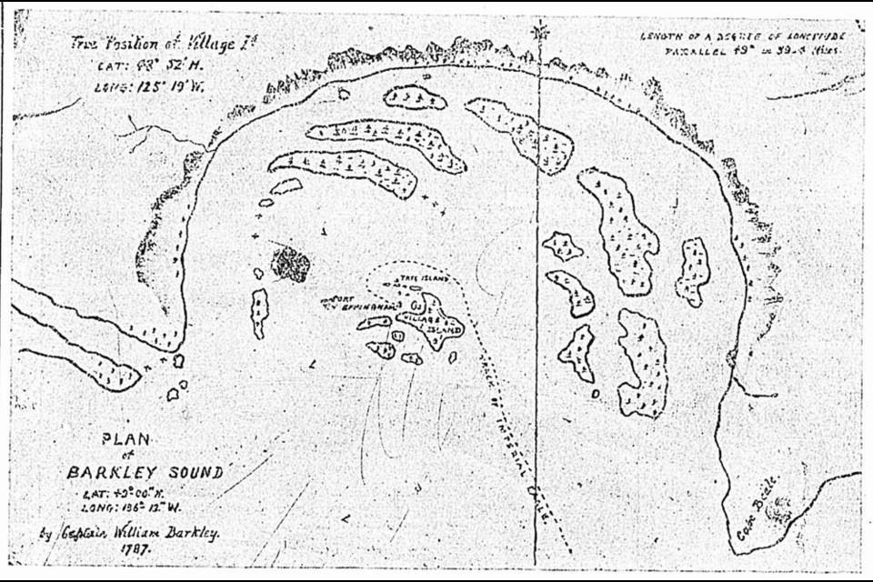
During their voyage to Nootka Sound, they were the first of the non-Indigenous explorers to chart what became known as
Barkley Sound.
The reminders of their visit are still there: printed on all nautical charts of the area are Loudoun Channel and Imperial Eagle Channel, named for their ship; Trevor Channel is based on Frances’s birth name; and Cape Beale was named after the ship’s purser who was killed on a trading expedition up the coast.
Despite their findings, the Barkleys were largely bypassed by historians, as they had left no published account of their life at sea.
In 1836, at the age of 66, Frances Barkley began writing the story herself, leaving a small journal that she titled Reminiscences, now housed in the B.C. Archives.
Converse says her goal was to create a more immersive experience while maintaining Frances’ original intent in Reminiscences.
At times there were gaps in Frances’s journal, but Converse says she was able to fill in some of those holes through research, talking to marine historians and ships masters, as well as communicating with relatives, to provide a more detailed description of the couple’s travels.
This excerpt from Frances Barkley: An Eighteenth-century Seafarer (Heritage House, 2023), which recounts her experiences in Russia and Alaska, is reprinted with permission of the publisher.
We continued toward Petropavlovsk, on the southeast coast of the Kamchatka Peninsula.
It was here that we hoped to obtain enough furs to make our long trip worthwhile.
Along the way, we were teased with momentary glimpses of snow-capped mountains before the veil of fog enveloped us once again.
We were aware of the long chain of mountains that lined this coast, but we lived within this bubble of featureless whiteness and could see nothing.
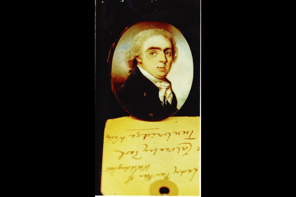
Captain Charles Barkley. Public Domain
According to
Captain Barkley’s calculations, we were nearing our destination.
On June 21, and much to our favour, as we came abreast of the lighthouse signaling the entrance to Awatcha Bay, our old nemesis the fog lifted.
To our amazement, winter suddenly became summer; the cold north wind dropped and the warmth coming off the land was a welcomed surprise.
We entered the bay with some trepidation as we had heard the Russians disliked foreign traders, particularly the British.
They were fiercely protective of their furs.
Unexpectedly, three great guns were fired.
We could see soldiers, with their muskets shouldered, standing in a cloud of white smoke near where the cannons were fired.
They were clad in thick bear skins, which made them look more like the animals than men.
On the opposite side, we noticed six more cannons.
There seemed to be more guns than men guarding the entrance to the bay.
After that rather unnerving welcoming, a boat was dispatched with a pilot aboard to show us where we should anchor.
Once around the peninsula, the bay itself was expansive and was dominated by lofty snow-capped mountains that loomed over everything.
It was quite magnificent.
Mariners rightfully call this the “Kamchatka Pearl.”
As soon as we anchored, the sergeant came aboard with greetings and a gift of two large salmon from the governor, Major Ismailov.
The area was rich in fish, particularly salmon.
We were assured that the fish had been carefully prepared according to custom and were buried for several days.
The sergeant was eager to have us try this tasty morsel.
We suppressed our revulsion and in the name of diplomacy, we ate the rotting fish with good cheer.
It was something I would not want to repeat.
We were then offered an invitation to join the governor the following day, which we graciously accepted.
We dressed the Halcyon in the appropriate flags, gathered our family together along with our ship’s officers, and rowed to shore.
We were greeted with great ceremony and a repast of salmon was specially prepared for us in the same manner.
Because I was the captain’s wife, I was offered the most desirable part of the fish, a delicacy set aside for persons of high-ranking status — the snout.
It was quite putrid.
I demurred as politely as I could and chose a slice of the fresh fish, which was for inferior guests.
When it came time to take our leave, we were well pleased to be rid of the civilities of the company.
In need of a walk, we had a delightful row around the bay to see if we could detect any spot which looked promising.
Usually, we would find one or two rugged trails, but here there did not appear to be many suitable places.
We stopped at the village and many of the residents came out of their houses to greet us.
Some presented us with wonderful gifts of cranberries, which were large and well-flavoured.
Others invited us into their houses, which, although humble, were neatly attired and well looked after.
Our little William garnered a great deal of attention from the children, who would come up and caress him, perhaps because he was so foreign to them.
He was glad enough to frolic and play with the children, as adults had been his only companions while on board the ship.
Barckey Sound with the GeoGarage platform (CHS nautical raster chart)
The entertaining went on daily during our time in Awatcha Bay.
We hosted many dinners and made sure our guests were served plenty of wine, beer, brandy, and rum, which they seemed to like.
They did not have their own liquors except for something they called Quass, made from fermented rye bread.
It tasted a bit like mead.
While we were still at anchor, several other ships arrived, all fully dressed in their flags.
As each ship entered and then departed, they fired their cannons as a salute: first to Empress Catherine, then once for each of the dignitaries on land, and then again for each of the ships in the harbour and their officers, and whoever else they could think of, sometimes firing fifteen rounds for each person.
It made for an ear-splitting cacophony and left our part of the bay choked with smoke.
We had never experienced so much camaraderie, feasting, and music.
Our small ship was visited morning, noon, and night with our guests eating us out of house and home.
Such ceremonies, however, are an important part to securing permission to engage in trade.
Despite our best efforts, the trade in pelts was non-existent.
To bypass government regulations against foreign trade in furs, transactions regularly took place in secrecy.
Unfortunately, the governor was in residence at the time we arrived.
It was his duty to prevent the Kamchadals (the Indigenous people of the land) from engaging in any commercial undertakings.
Major Ismailov was aware that we came to trade, but despite the seeming friendship, the showering of small gifts, and our extravagant entertaining, we left with our stores greatly reduced.
We were glad to escape the endless ceremonies, the civility, and the noise, but we were disheartened to have left empty handed.
***
We were twenty-seven days at sea when, on August 16, we saw the icy peak of Mount St. Elias soaring above the clouds, looking like a regal potentate surveying its mountain kingdom.
On August 18, we spotted Mount Fairweather, about 152 miles south of Mount St. Elias.
This part of the coast was unknown to us, so we had to tread carefully.
The weather was changeable, windy, and misty at times, but overall, it was tolerably warm.
We were farther north than Captain Barkley intended, but we came across a sound called Admiralty Bay, where we found a secure anchorage in Lord Mulgrave’s Harbour, east of the entrance.
Scanning the horizon, we spied several canoes that looked to have been out on a fishing expedition.
As they drew closer, we could see that the men wore daggers suspended from their necks and carried spears with large sharp iron barbs.
Their hair was matted and well-oiled and daubed with ochre.
They dressed in sea otter skins that were stitched together and draped over their shoulders, but they wore nothing underneath their capes, leaving them quite exposed.
The women were modestly dressed in skin dresses with a kind of woven rug thrown over their shoulders.
Their hair was neatly parted in the middle, kept smooth behind their ears, and tied at the top in a knot.
They also sported a bone or wood appendage that was slipped into a slit below the bottom lip.
Both men and women covered their faces with soot and red ochre.
We found them to be astute traders who knew the worth of their furs.
They sold us the furs they had with them, even the ones they were wearing.
I spent my days exploring the island and found the ground cultivated with oats, peas, and strawberries.
I thought it a bit surprising as the people looked to be unsettled, perhaps using the area as a seasonal stopover.
The men gave us fish and the women provided us with different kinds of berries, fresh and dried, but the raspberries were especially delicious.
It was a treat to eat fresh food and we relished it whenever we got the opportunity.
After putting everything in order aboard the ship and filling the water butts, we prepared for our departure.
It was now July 25.
As the Halcyon turned out to sea we were welcomed by a violent wind and steep seas.
With great effort, the sails were reefed and we stood offshore to ride out the storm.
When the weather calmed somewhat, we ran for Cape Edgecumbe.
Despite the weather, the scenery along this coast was breathtaking, truly a landscape painted by angels.
As we neared the cape, the cliffs darkened to an inky black then slowly blended into a greyish white as we moved farther south.
The coastline was striated with precipitous cliffs that dropped straight into the ocean.
Along the shoreline, where the land and sea clashed, dangerous shoals poked up from the detritus left by erosion.
We took a thrashing all the way down the coast.
After another terrible night of rough seas, we rounded the cape and found a safe anchorage in Norfolk Sound and tucked into a cove at the bottom of the bay.
It was a relief to finally be away from the crashing sound of breaking waves.
You never quite get over the anxiety that comes with such violence, although you learn to live with the dangers the ocean presents.
For our dear William, severe weather events were of no consequence.
He knew no other life, having spent most of his four years at sea.
From the ship, we could see there was habitation on shore that appeared to be of a more permanent nature than we found in Lord Mulgrave’s Harbour.
We were not surprised, then, when several large, well-appointed canoes visited us the next day.
They were familiar with merchant ships such as ours and they brought sea otter skins to trade.
We found the transaction for the pelts arduous and costly.
Gunpowder and shot were first on their list, but not guns as each canoe already had two or three muskets.
They told us they preferred the accuracy of their spears over guns.
Next on their list were blankets, cooking utensils, tools, and other iron weapons.
Captain Barkley was able to understand and communicate with the traders.
He had a great aptitude for languages and regularly studied the languages of the peoples we met on our trips.
The men projected a fierceness in their attitude, and we remained wary.
When on board, they took anything that was not put away, and when our crew ventured on shore, they were stripped of all they had, including their clothing, at times under gunpoint.
On one lovely moonlit evening Captain Barkley heard chanting, like a war song.
Through his night glass he saw several canoes tight into the shoreline.
It was quite frightening as we were not well manned.
As a warning, the ship’s cannons were fired off over their heads.
The next day they came out to us attired in their war regalia, their paddling timed to their chanting.
They circled the Halcyon three times.
Tension mounted, but we remained calm.
Suddenly, with a great shout they pulled off their masks and proceeded to trade.
We were greatly relieved.
Captain Barkley had always attempted to treat those we met with respect and honour.
They said they had been on a raid the previous night and sold us the furs they obtained.
Had we stayed longer, I have no doubt that we would have had an excellent cargo of sea otter skins.
Unfortunately, we could not extend our stay as originally planned because we were running short of provisions and reduced to an allowance of a teacupful of rice a day.
Fortunately, there was plenty of grog so there was no murmuring on board.
As it was, Captain Barkley purchased a pretty good lot.
It was not what we hoped, but at least we had some pelts to take back to Canton.
Links :


 Adrian Spence’s Vagabond 47 El Paradiso found that Svalbard is now well-wrapped in red tape, yet she still managed enough cruising to be awarded the Strangford Cup
 Derek & Viv White’s Fastnet 34 Ballyclaire in Derrynane during their award-winning Round Ireland cruise
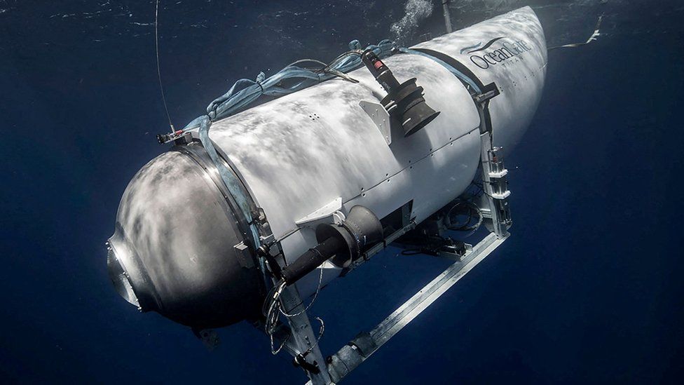 Titan Oceangate submarine
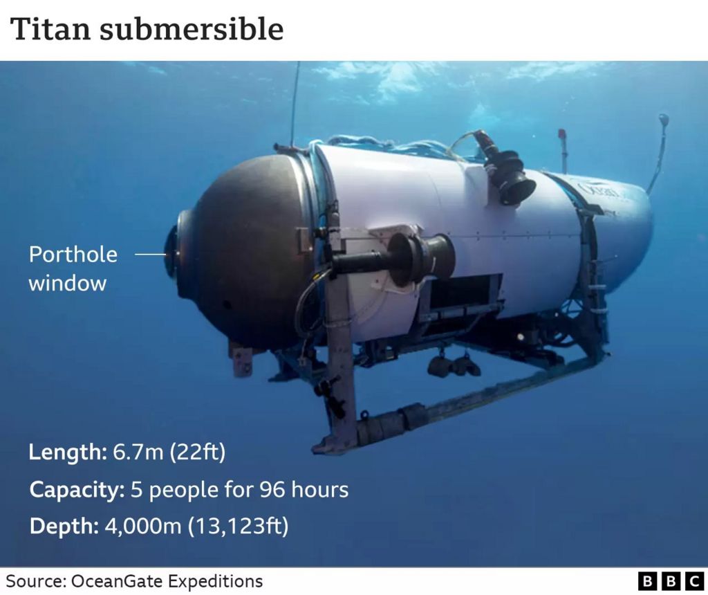

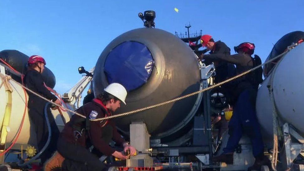
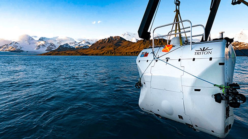 Image Triton submarines
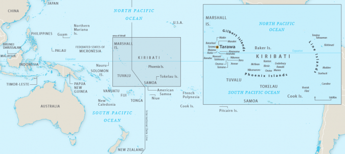 Map of Kiribati.
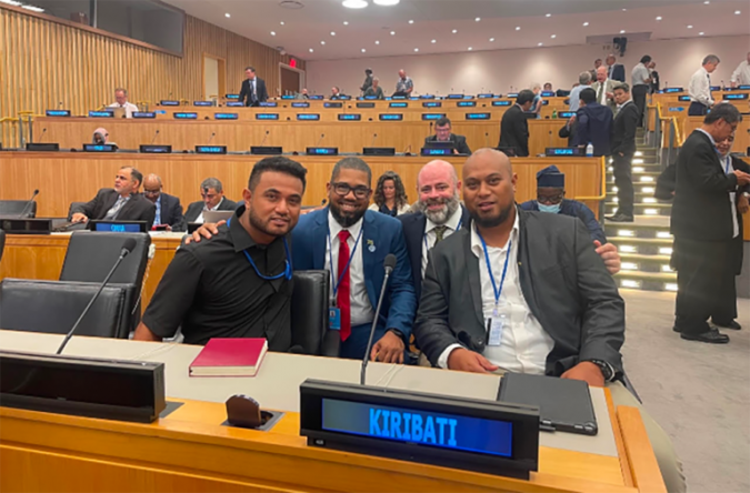 From left to right: Robert Karoro (Kiribati), Diego Billings (Jamaica), John Nyberg (USA) and Tion Uriam (Kiribati) at the Eleventh Session of the United Nations Committee of Experts on Global Geospatial Information Management, in New York, August 2022.
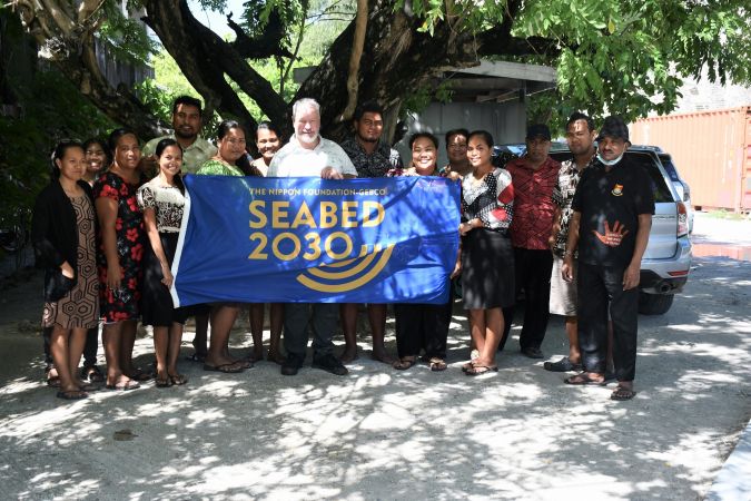
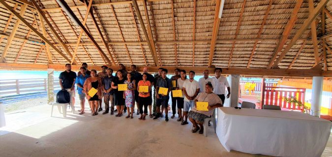 Attendees at the Kiribati national workshop on the Integrated Geospatial Information Framework in Betio, Kiribati, November 2022.