
First map of the island Clipperton, then "Isle de la Passion",
by vessels of Mr Piecourt coming from China to Peru
source Gallica BNF
 Localization of Clipperton island with the GeoGarage platform (SHOM nautical chart)


Clipperton island with the GeoGarage platform (SHOM chart)


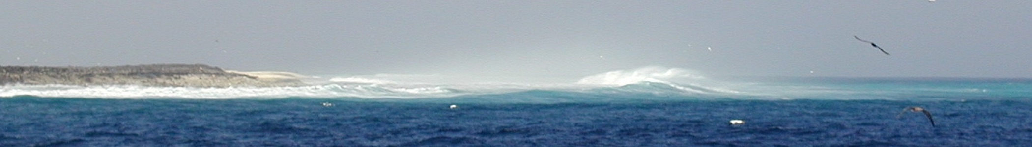
Aerial view (Ocean Polaire website)
Their scientific findings supported the creation of a marine reserve, announced at the September 2016 Our Ocean conference in Washington, D.C., that encompasses Clipperton’s territorial waters.
For their expedition to Clipperton, conducted in partnership with the University of French Polynesia, the Pristine Seas team shot hundreds of hours of underwater and topside footage for a documentary film.
Links :
- Le Figaro : Clipperton, un atoll français paradisiaque noyé sous les déchets plastiques
- Ile de clipperton (Christian Jost blog) : cartes anciennes
- YouTube : Clipperton Island from above - Aerial Video of Ile de la Passion
No comments:
Post a Comment