 see GeoGarage news
Tuesday, August 23, 2022

Theories of giant waves that suddenly appear and vanish
Huge wave hits Dunbar oil rig North Sea
From Maritime Executive by Harry Valentine
Maritime folklore tells stories of giant waves that suddenly appear on the ocean and disappear just as quickly.
While many people dismiss the existence of such waves as mythology, there are accounts of oil rigs and ships having encountered giant waves and giant troughs that suddenly appear and disappear.
There are theories that seek to explain such occurrences that could occur more frequently as a result of climate change.
Introduction:
During December 1942, the Queen Mary sailed westbound into a storm on the North Atlantic carrying almost 11,400 American soldiers and pushing through swells of 50 to 60-feet in height.
It suddenly encountered a super trough and hit broadside by a giant wave estimated at 90-feet height.
The ship heeled over to 52-degrees and within 3-degrees of its limit before slowly righting itself.
During early 1960’s, the Union-Castle Line’s Pendennis Castle sailed from Durban to Cape Town when it fell into “a hole in the ocean,” causing the ship to heel over to 45-degrees, its limit.
Fortunately, the Pendennis Castle was able to right itself.
During July 1909, the 10,000-ton SS Waratah carrying 211-people suddenly disappeared without trace while sailing from Durban to Cape Town.
It was discovery during 1999 resting upright on the seafloor, indicating that it had sunk very rapidly and possibly the result of having encountered a giant wave.
During February 1982, huge waves estimated to exceed 65-feet pounded the semi-submersible oil rig named Ocean Ranger and caused it to sink offshore from Newfoundland, Canada.
During December 2008, a giant wave hit the Dunbar oil rig in the North Sea.

Theory of Sea Waves:
There is general agreement that wind blowing over large expanses of ocean produces waves on the ocean surface.
When waves approach a coastline with decreasing water depth, the leading edge of each wave slows as the trailing edge catches up to increase wave height.
As wind speed increases, wave height and wave speed both increase.
While tiny waves break very close to shoreline, larger waves break further away from the shoreline indicating a relationship between water depth and the combination of wave height and wave speed.
Seafloor topography has potential to affect wave height and where waves break.
Shallow bodies of water such as Lake Erie, North Sea and Bay of Biscay are notorious for storm driven wave conditions.
The Mid-Atlantic Ridge provides a shallow zone along the shipping route between North America and Europe with potential to cause large waves as winter approaches each year.
At such time and as a result of a combination of rarely occurring factors, steadily increasing wind speed along the American east coast has potential to produce waves that could coalesce and break at mid-ocean above the Mid-Atlantic Ridge, such as the wave that Queen Mary encountered.
Seafloor Topography:
The seafloor topography under several bodies of ocean provides locations where large offshore waves are likely to occur.
While the southern region of the Bay of Biscay reaches depths in excess of 9,000-feet, depths in the northern region are less than 300-feet providing a 30-to-1 ratio.
That seafloor profile extends westward into the Atlantic Ocean and across the international shipping channel located west of Portugal and Spain where over the distance of a few miles, water depth changes from more than 9,000-feet to less than 600-feet.
The international shipping lanes that connect to Western Europe pass through this region.
Winds blow across vast expanses of the North Atlantic producing waves that enter this region where wave height increases.
Waves moving south from the Norwegian Sea into the North Sea also encounter a sudden change in water depth between Scotland and southern Norway, where large waves have a propensity to occur.
Water depth off the South African coast between Durban Port Elizabeth rapidly decreases toward shore over a comparatively short distance and especially offshore from East London where a shallow zone extends further into the Indian Ocean and where large waves frequently occur.
Changing Climate:
Climate change has the propensity to increase storm severity in many coastal regions internationally.
More powerful winds blowing at steadily increasing speed over large expanses of ocean would produce larger and faster moving waves that are more likely to be affected by deeper level seafloor topography.
The result would be an increased likelihood of successive waves coalescing into the occasional supersize wave that would break far offshore in regions where sea depth rapidly decreases.
There are several locations in the world’s ocean where water depth decreases offshore from over 10,000-feet to under 600-feet, where super waves are likely to occur.
Conclusions:
It is perhaps a forgone conclusion that ships will encounter storms at sea and on rare occasions during such storms, a wave of extreme height.
In the history of shipping, ships have encountered rogue waves and survived as was the case for the Queen Mary and the Pendennis Castle that were both larger than the ill-fated Waratah.
As future international trade increases, greater numbers of large ships will sail across the ocean and through regions where the seafloor rapidly changes height in mid-ocean.
There will likely be increased future reports of ships having encountered sudden large waves at mid-ocean.
Links :
- GeoGarage blog : Enormous 'rogue waves' can appear out of nowhere. Math is revealing their secrets. / Four-story high rogue wave breaks records off the coast of Vancouver Island / Terrifying 20m-tall 'rogue waves' are actually real / Oxford scientists successfully recreated a famous rogue wave ... / How dangerous can ocean waves get? Wave comparison / Study finds massive rogue waves aren't as rare as previously ... / Rogue wave theory to save ships / How rogue waves are created in the ocean / Rogue waves captured / 19-meter wave sets new record - highest significant wave ... / Science investigates freak waves
Monday, August 22, 2022
Map may show evidence of Wales' Atlantis off Ceredigion
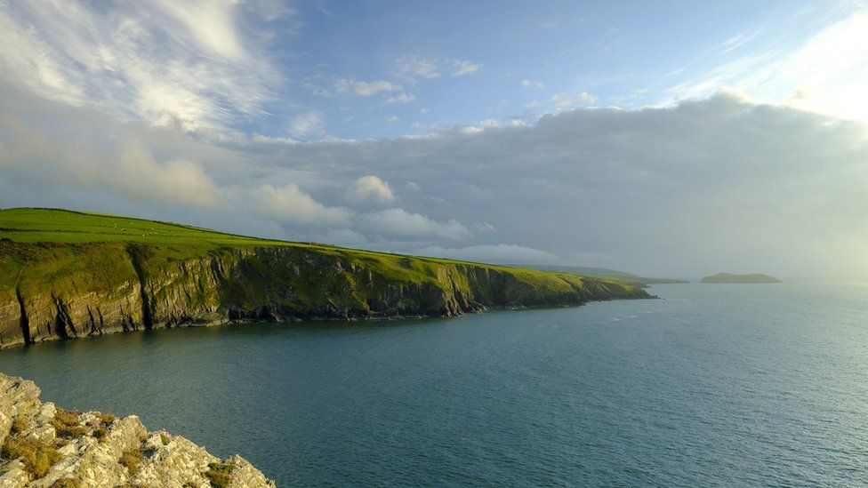
The legend states the lost kingdom of Cantre'r Gwaelod sunk into the sea off the Welsh coast
image : Getty Images
The Welsh legend of Cantre'r Gwaelod, a lost land sunken below Cardigan Bay, has persisted for almost a millennium.
First written about in the mid-13th Century, it is likely the myths and legends surrounding the Welsh Atlantis date from long before that.
Yet there has never been any definitive geographical evidence for the mythical land… until now, perhaps.
A medieval map has been uncovered which depicts two islands off the Ceredigion coast - now lost to history.
Simon Haslett, honorary professor of physical geography at Swansea University, went in search of lost islands in Cardigan Bay while he was a visiting fellow at Jesus College, Oxford.
Along with David Willis, Jesus Professor of Celtic at the University of Oxford, they have presented evidence of two islands depicted on a medieval map, each about a quarter the size of Anglesey.
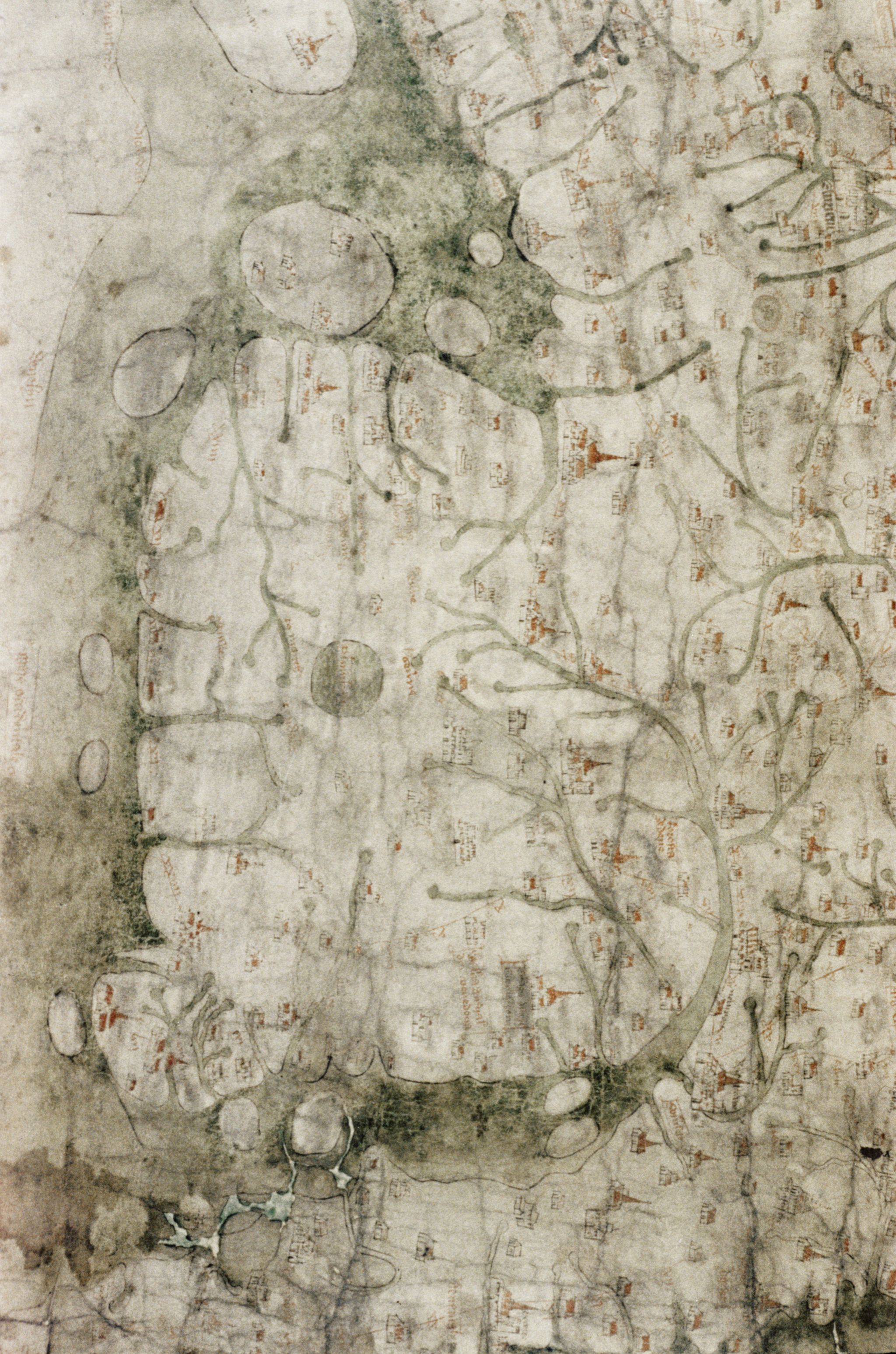
The 13th Century map depicts a medieval Wales with two large islands off the west coast that do not exist today
(North at West : rotate -90°)

One island is offshore between Aberystwyth and Aberdyfi and the other further north towards Barmouth, Gwynedd.

Localization with the GeroGarage platform (UKHO nautical map)
Prof Haslett explained that the two islands are clearly marked on the Gough Map, the earliest surviving complete map of the British Isles, dating from as early as the mid-13th Century.
"The Gough Map is extraordinarily accurate considering the surveying tools they would have had at their disposal at that time," he said.
"The two islands are clearly marked and may corroborate contemporary accounts of a lost land mentioned in the Black Book of Carmarthen."
"The Gough Map is extraordinarily accurate considering the surveying tools they would have had at their disposal at that time," he said.
"The two islands are clearly marked and may corroborate contemporary accounts of a lost land mentioned in the Black Book of Carmarthen."
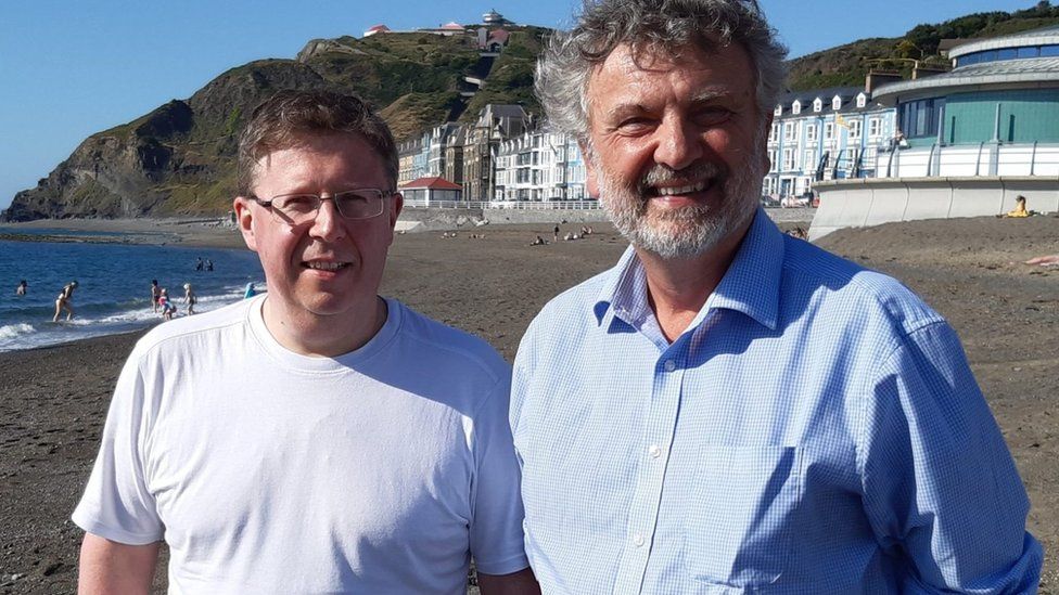
Professors David Willis (left) and Simon Haslett (right) researched the lost islands of Cardigan Bay
image : Jesus College Oxford
The map is held in the collections of the Bodleian Library at Oxford University.
Cardiff University's Welsh folklore expert Dr Juliette Wood - who was not involved in this research - said the Black Book's account was key to anchoring the story in Welsh myth.
"The Gough Map may have its origins around 1280, shortly before that, around 1250, you have the Black Book of Carmarthen.
"It describes Gwyddno Garanhir's country called Maes Gwyddno (Gwyddno's Field). It was flooded because the well-keeper (Mererid) left the cover off the well."
Fact within folklore?
Drawing upon previous surveys of the bay and understanding of the advance and retreat of glaciers and silt since the last ice age about 10,000 years ago, Profs Haslett and Willis were able to suggest how the islands may have come into existence and then disappeared again.
Prof Haslett also suggested it may explain some of the local folklore.
He said: "I think the evidence for the islands, and possibly therefore the legends connected with them, is in two strands.
"Firstly, coordinates recorded by the Roman cartographer Ptolemy suggest that the coastline at the time may have been some 13km (8 miles) further west than it is today.
"And, secondly, the evidence presented by the Gough Map for the existence of two islands in Cardigan Bay."
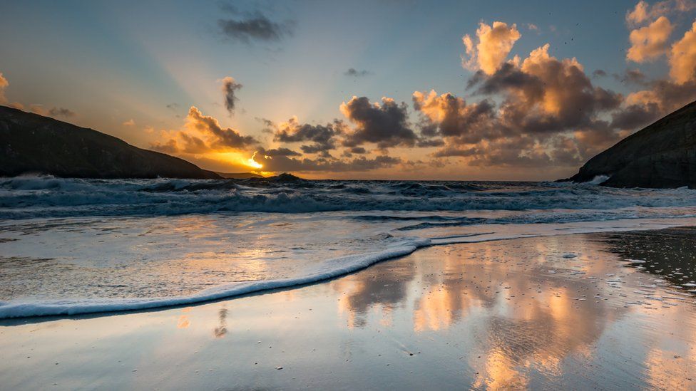
The Gough Map depicts two islands in Cardigan Bay - both about a quarter of the size of Anglesey
source : Getty Images
He added folk legends of being able to walk between lands now separated by sea could be a folk memory stemming from rising sea levels after the last ice age.
"However, legends of sudden inundation, such as in the case Cantre'r Gwaelod, might be more likely to be recalling sea floods and erosion, either by storms or tsunami, that may have forced the population to abandon living along such vulnerable coasts," he added.
"In roughly a millennium, from Ptolemy's time to the building of Harlech Castle during the Norman period, the seascape had completely altered."

Roman cartographer Ptolemy mapped much of Europe in precise detail
Ptolemy's map of Great Britain and Ireland (1467 copy)
source : wikipedia
"Later maps show the islands had disappeared, yet further up the coast at Harlech, the castle which was built to have a strategic advantage on the coastline now found itself more or less land
slocked," he added.
"The erosion of any islands here would have released boulders that are likely to have contributed to the accumulation of the distinctive stone structures known locally as sarns."
Dr Wood believes these sarns have played a vital part in perpetuating the story.
'Re-enchanting the land'
"People now as much as then want to find a way of explaining things which seem simply unexplainable; especially during tough times," she said.
"I've seen the sarns myself, and they are incredibly convincing. You could easily believe that their uniform structure was once part of a lost civilisation, however the catch is that most of these stories don't come back into fashion until the 18th Century
"I call it re-enchanting the land, the romanticists amongst the Celtic population want to find meaning and a belief system to make sense of the current hardships."
Dr Wood added that similar "Atlantis" legends can be found around most of the world, particularly in Europe.
"These migratory stories emerge when the facts fit the myth. They come and go all over the place, but especially when phenomena like the sarns appear.
"Rather than saying that the discovery of the island proves the folklore, I'd say that the proof is coincidental, and that the two truths can exist independently of each other."
However, Prof Haslett warned his findings could have more bearing on the future than the past.
"These processes didn't happen just once, they're still on-going."
"With rising sea levels and more intense storms it's been suggested that people living around Cardigan Bay could become some of Britain's first climate change refugees, within our lifetimes."
Profs Haslett and Willis have published their findings in the journal Atlantic Geoscience
Links :
- Cantre’r Gwaelod: The Mysterious Legend of the Ancient Sunken Kingdom Known as the Welsh Atlantis
- BBC: Cantre’r Gwaelod – The Lost Land of Wales
- NYTimes : A Sunken Kingdom Re-emerges
- DailyMail : Storm Francis uncovers part of a petrified Welsh woodland that has been submerged for 4,500 years and inspired the legend of the 'Lost Hundred'
- The Guardian : Prehistoric forest uncovered by storms in Cardigan Bay
Sunday, August 21, 2022
Saturday, August 20, 2022
Into the abyss
Exploring hydrothermal vents, cold-seep habitats, and food-falls including whale-falls and the communities at shipwrecks.
Subscribe to:
Posts (Atom)