 Map of main island of Chausey (France) by the British Admiralty, which seems to date from 1828, mentioning the names of the French cutters and English ships anchored in the Sound
(note in passing their way of anchoring, one anchor on each side at almost 180° with sometimes a third one behind).
Note also the sort of bastion around the beacon that was set up at the top of the hill of the future semaphore.
courtesy of Hervé Hillard
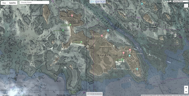
Chausey (SHOM nautical chart) with the GeoGarage platform
Links :


No comments:
Post a Comment