We are pleased to present this amazing video realised with Fledermaus, the interactive 4D geo-spatial processing and analysis software designed QPS.
The video, characterised by a stunning quality, portrays three wrecks and part of the Beirut harbour structure, until today unknown and now mapped for the first time.
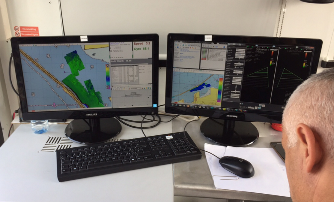
In March 2017, Lighthouse together with QPS, organised a training for the Lebanese Navy in cooperation with the Italian Navy as part of the ISG (International Support Group Lebanon) program.

Beirut harbor with 4 identified wrecks with the GeoGarage platform (SHOM chart)
No comments:
Post a Comment