
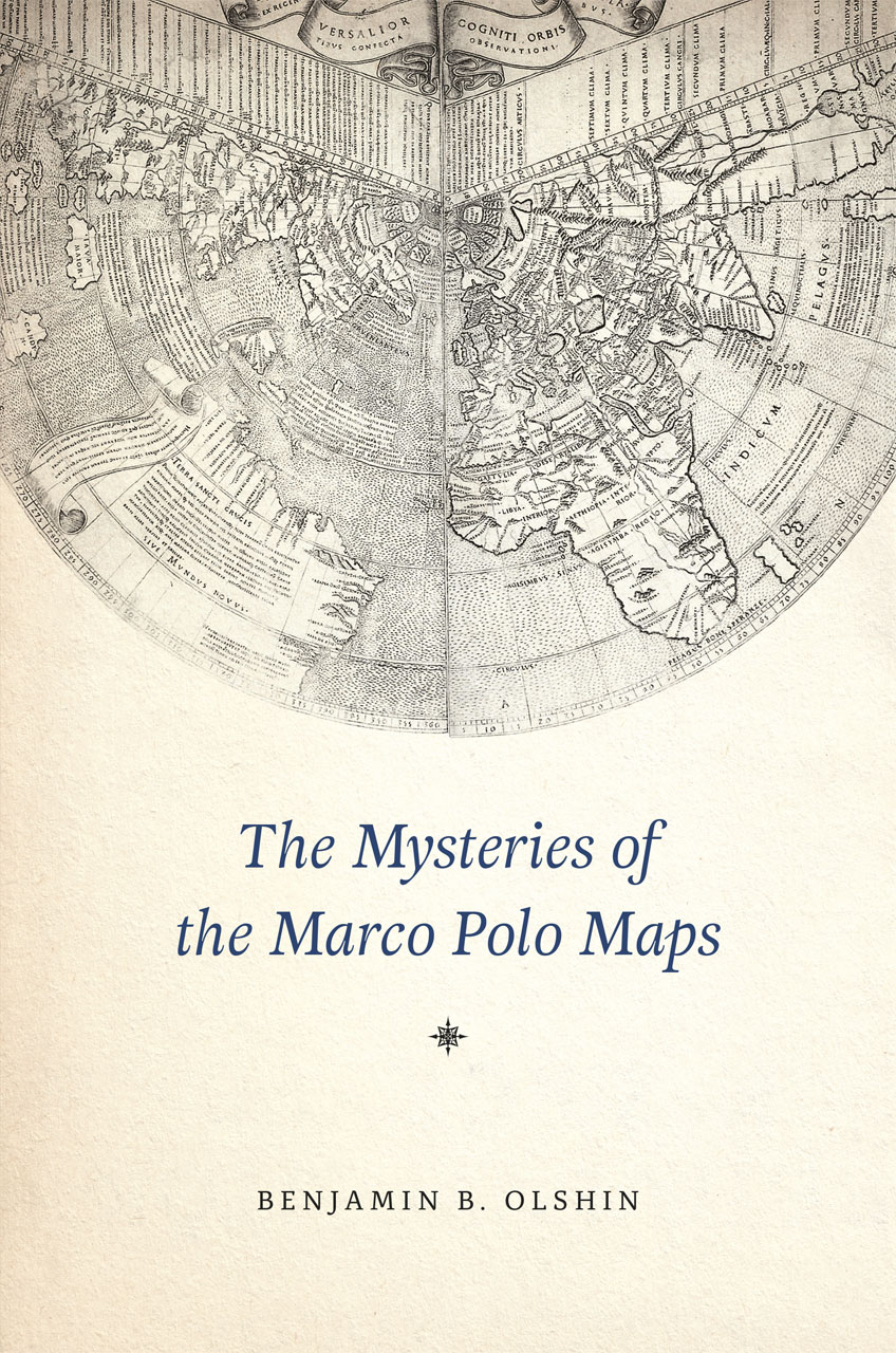
"Map with Ship" has the informality of a "napkin sketch on vellum," says map expert John Hessler, suggesting its maker was not a trained cartographer.
(Library of Congress, Geography & Map Division)
From Smithsonian by Ariel Sabar
For a guy who claimed to spend 17 years in China as a confidant of Kublai Khan, Marco Polo left a surprisingly skimpy paper trail.
No Asian sources mention the footloose Italian.
The only record of his 13th-century odyssey through the Far East is the hot air of his own Travels, which was actually an “as told to” penned by a writer of romances.
But a set of 14 parchments, now collected and exhaustively studied for the first time, give us a raft of new stories about Polo’s journeys and something notably missing from his own account: maps.

Marco Polo's Book of Travels mentions a voyage east of Siberia for "forty days."
This expedition to Alaska and the West Coast is documented in this "Map-with-Ship" that was given to the Library of Congress in the 1930s by the Marcian Rossi Family.
Gunnar Thompson has argued in support of the authenticity of this map before the Society for the History of Discoveries; and he has offered to pay for a radiocarbon test of the ancient vellum or sheepskin. (jp2 map file)
If genuine, the maps would show that Polo recorded the shape of the Alaskan coast—and the strait separating it from Asia—four centuries before Vitus Bering, the Danish explorer long considered the first European to do so.
Perhaps more important, they suggest Polo was aware of the New World two centuries before Columbus.

Marco Polo visits the Great Kublaï Khan of China
“It would mean that an Italian got knowledge of the west coast of North America or he heard about it from Arabs or Chinese,” says Benjamin B. Olshin, a historian of cartography whose book, The Mysteries of the Marco Polo Maps, is out in November from the University of Chicago Press. “There’s nothing else that matches that, if that’s true.”
But as Olshin is first to admit, the authenticity of the ten maps and four texts is hardly settled.
The ink remains untested, and a radiocarbon study of the parchment of one key map—the only one subjected to such analysis—dates the sheepskin vellum to the 15th or 16th century, a sign the map is at best a copy.
Another quandary is that Polo himself wrote nothing of personal maps or of lands beyond Asia, though he did once boast: “I did not tell half of what I saw.”
The parchments came to America in the steamer trunks of an enigmatic Italian immigrant named Marcian Rossi.
Rossi landed on Ellis Island as a teenager in 1887 and later told a historian that the documents were passed down through patrician ancestors from an admiral to whom Polo had entrusted them.
The mustachioed, bow-tie-fancying Rossi was a father of six who worked as a tailor in San Jose, California.
He was also a charming, cigar-puffing raconteur, who despite little schooling wrote a sci-fi thriller, A Trip to Mars.
Colombus Notes on Marco Polo's "Le Livre des Merveilles", latin edition
Might Rossi have conjured a Polo fantasy, too?
“He certainly was enough of a character,” says his great-grandson, Jeffrey Pendergraft, a Houston energy executive who is custodian of the family papers.
But neither Pendergraft nor cartographic experts suspect Rossi of forging the maps.
“The incredible amount of knowledge in them about a whole variety of subjects—I would be very skeptical that my great-grandfather possessed,” Pendergraft says.
When Rossi donated the palimpsest “Map with Ship” to the Library of Congress in the 1930s, even the FBI was stumped.
The agency’s analysis, requested by the library and signed by J. Edgar Hoover, was mum on the question of authenticity.

One reason the parchments have languished since then is their idiosyncrasy.
They tell of people and places absent not just from Polo’s narrative but from known history.
And they’re an awkward fit for the era’s known map styles—Portolan sailing charts, the grids and projections of Ptolemy, and the medieval schematics known as mappae mundi.
The parchments bear inscriptions, some cryptic, in Italian, Latin, Arabic and Chinese.
Olshin, a professor at the University of the Arts in Philadelphia, who spent more than 13 years researching and writing his new book, is the first scholar to fully decode and translate the maps and to trace Rossi’s ancestry, with some success, back to Polo’s Venice.
One of Olshin’s most tantalizing finds are allusions to “Fusang,” an obscure fifth-century Chinese name for a “land across the ocean” that some scholars now contend was America.

One of many Asian junks that Yuan Chinese explorers and Marco Polo could have used in 1285
to map America's West Coast from Alaska to Peru
History says little about Polo’s three daughters. (He had no sons.)
But Fantina, Bellela and Moreta have star turns here, signing their names to some of the parchments and claiming to have drawn them from their father’s “letters,” apparently after his death.
Bellela writes of hitherto untold encounters with a Syrian navigator, a band of lance-toting women in ermine pelts and people on a peninsula “twice as far from China” who wear sealskin, live on fish and make their houses “under the earth.”
Travels made Polo an instant celebrity after his return to Venice, both for his descriptions of faraway lands and for what his countrymen suspected was wild fabrication.
His daughters may have plunged back into their father’s notes in hopes of securing his reputation, surmises Stanley Chojnacki, a University of North Carolina expert on gender relations in 14th-century Venice, and “to claim by reason of defending him a certain measure of respectability and status and importance themselves.”
Links :
- DailyMail : The incredible map that shows Marco Polo may have discovered America in the the 13th century - 200 years before Christopher Columbus
- MarcoPoloinSeattle : Marco Polo’s New World Maps (claiming the explorer then went south to Washington state.)
- Reading Colombus
No comments:
Post a Comment