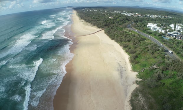
The Sunshine Coast shoreline is estimated to have retreated by 20 metres the past three years.
Photograph: Javier Leon
From The Guardian by Donna Lu
Researchers say erosion of beaches along south-east coast – including at tourist hotspot Noosa – is significantly affecting local biodiversity
Some of Australia’s most famous beaches, including the tourist hotspot Noosa, are increasingly vulnerable to coastal erosion caused by successive years of La Niña, with experts voicing fears for local biodiversity.
Beaches along Australia’s south-east coast erode substantially during prolonged La Niña events, a study analysing four decades of satellite imagery has suggested.
The research comes amid warnings that erosion along Queensland’s Sunshine Coast, after three consecutive La Niña years, is significantly affecting local biodiversity.


Sunshine Coast with the GeoGarage platform (AHS nautical raster chart)
Dr Javier Leon, a senior lecturer in physical geography at the University of the Sunshine Coast, has been monitoring the shoreline between Noosa’s Main Beach and Coolum.
He estimated that over the last three years on average the shoreline has retreated by about 20 metres, while the sand dunes have receded between 7m and 10m and vertically eroded by 2m to 3m.
Usually, some turtle nesting occurs along that stretch of coast between November and January – “30 or so every year”, Leon estimates.
“This year there have been no nests.”
“I’m assuming that it is because the beach and dunes have been eroded so there’s no place where turtles can [make] their nests,” he said, noting that there had been nesting activity further south, where beaches were less eroded.
“If you were to leave coastal system by itself, the beach would move a lot. The real problem is when you have infrastructure behind, or even worse, on those dunes.” Leon cited Main Beach and Maroochydore as particularly vulnerable areas.
The Queensland analysis is in keeping with the findings of satellite research that studied more than 8,300km of coastline along the Pacific basin, looking at the effects of the El Niño-Southern Oscillation on wave-dominated sandy beaches.
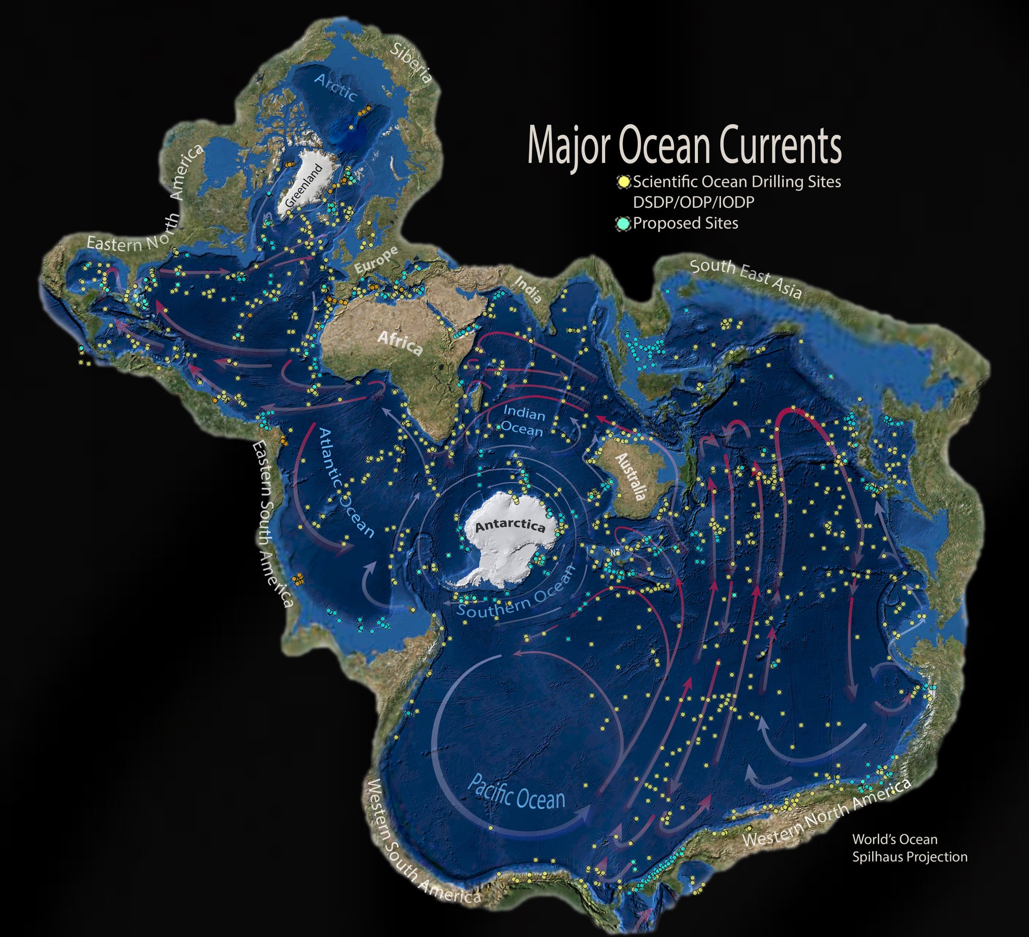
Enso oscillates between warm El Niño, cold La Niña and neutral phases as a result of differences in sea surface temperatures in the Pacific Ocean.
Of the Australian coastline analysed, the researchers found that between 1984 and 2022, 48% of beaches experienced significant erosion during La Niña years.
“That signal is very clear in south-east Australia,” said the study’s first author, Dr Kilian Vos of the University of New South Wales. The erosion during La Niña was linked to a 7% increase in wave power and sea level changes, Vos said.
Conversely, El Niño was associated with an accumulation of sand across 75% of beaches analysed. Enso appeared to have the opposite effect on the other side of the Pacific, resulting in the accretion of sand on to beaches during La Niña years along the west coast of the Americas.
“Enso is very asymmetric,” Vos said. “El Niño events are very intense and very short, while La Niña events are rarely as strong but they last much longer.
Our Australian afternoon update email breaks down the key national and international stories of the day and why they matter
“Beaches kind of have a memory. If there have been many storms in the past year, the beach will be eroded and will take a long time to recover.”
He pointed to 2012-13 as an example, when the most extensive erosion in Australia was recorded.
“I’m assuming that it is because the beach and dunes have been eroded so there’s no place where turtles can [make] their nests,” he said, noting that there had been nesting activity further south, where beaches were less eroded.
“If you were to leave coastal system by itself, the beach would move a lot. The real problem is when you have infrastructure behind, or even worse, on those dunes.” Leon cited Main Beach and Maroochydore as particularly vulnerable areas.
The Queensland analysis is in keeping with the findings of satellite research that studied more than 8,300km of coastline along the Pacific basin, looking at the effects of the El Niño-Southern Oscillation on wave-dominated sandy beaches.
Enso oscillates between warm El Niño, cold La Niña and neutral phases as a result of differences in sea surface temperatures in the Pacific Ocean.
Of the Australian coastline analysed, the researchers found that between 1984 and 2022, 48% of beaches experienced significant erosion during La Niña years.
“That signal is very clear in south-east Australia,” said the study’s first author, Dr Kilian Vos of the University of New South Wales. The erosion during La Niña was linked to a 7% increase in wave power and sea level changes, Vos said.
Conversely, El Niño was associated with an accumulation of sand across 75% of beaches analysed. Enso appeared to have the opposite effect on the other side of the Pacific, resulting in the accretion of sand on to beaches during La Niña years along the west coast of the Americas.
“Enso is very asymmetric,” Vos said. “El Niño events are very intense and very short, while La Niña events are rarely as strong but they last much longer.
Our Australian afternoon update email breaks down the key national and international stories of the day and why they matter
“Beaches kind of have a memory. If there have been many storms in the past year, the beach will be eroded and will take a long time to recover.”
He pointed to 2012-13 as an example, when the most extensive erosion in Australia was recorded.
That year the Enso was in the neutral phase, but it followed two consecutive years of strong La Niña conditions.
“This highlights how El Niño and La Niña can trigger prolonged erosion phases on sandy coastlines,” the study’s authors wrote.
The researchers studied only wave power but not the direction from which the waves arrived along the coast.
Leon, who was not involved in the study, said along Australia’s east coast waves tended to hit the beaches from a south-east direction, but “La Niña usually means more waves from the east”.
“As soon as you get too many easterly waves, then a lot of those beaches are not used to it, so they are prone to erosion,” he said.
“This highlights how El Niño and La Niña can trigger prolonged erosion phases on sandy coastlines,” the study’s authors wrote.
The researchers studied only wave power but not the direction from which the waves arrived along the coast.
Leon, who was not involved in the study, said along Australia’s east coast waves tended to hit the beaches from a south-east direction, but “La Niña usually means more waves from the east”.
“As soon as you get too many easterly waves, then a lot of those beaches are not used to it, so they are prone to erosion,” he said.
“That’s what we’ve observed in the last three years.”
Anthropogenic climate change would further complicate the natural cycle of coastline changes, Leon added.
Anthropogenic climate change would further complicate the natural cycle of coastline changes, Leon added.
“The projections are that for the east coast of Australia, regardless of La Niña or El Niño, we will see waves shifting anti-clockwise, meaning they will come more and more from the east – because of climate change.”
The research was published in the journal Nature Geoscience.
The research was published in the journal Nature Geoscience.
Links :
- The Guardian : Global heating to drive stronger La Niña and El Niño events by 2030, researchers say
- ABC : La Niña sea level rise compounds the movement of West Australian beaches / Millions spent to protect Gold Coast beaches, but climate change poses a huge challenge
- Phys : The wild weather of La Niña could wipe out vast stretches of Australia's beaches and sand dunes




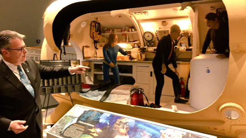
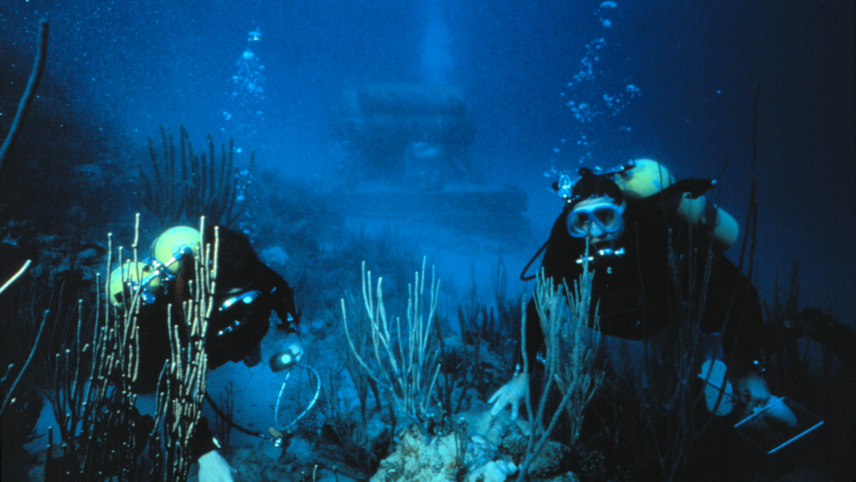
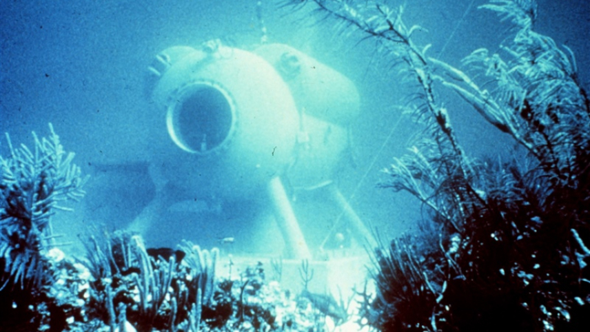 NOAA's HYDROLAB, based in the Caribbean beginning in the mid-70s, was an underwater lab for researchers.
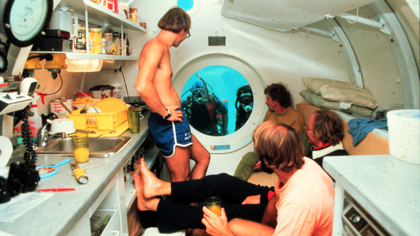 Four scientists inside the NOAA Hydrolab as it sits on the ocean floor, with two more scientists in SCUBA gear looking in through a window on the end of the structure.