From The Guardian by Reuters
Member states back Correct the Map campaign that urges governments and organisations to use more accurate map
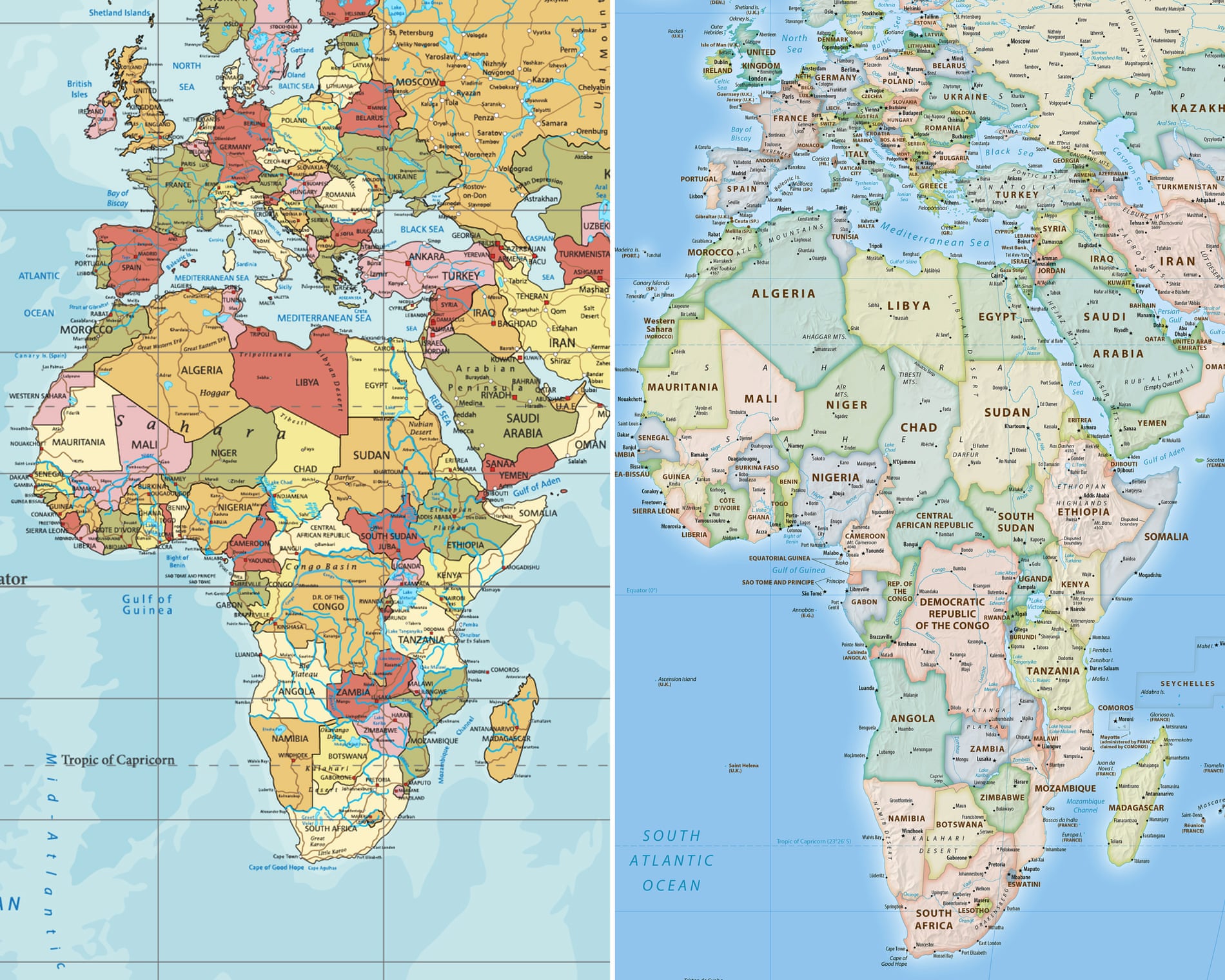
The African Union has backed a campaign to end the use by governments and international organisations of the 16th-century Mercator map of the world in favour of one that more accurately displays Africa’s size.
Created by the cartographer Gerardus Mercator for navigation, the projection distorts continent sizes, enlarging areas near the poles like North America and Greenland while shrinking Africa and South America.
“It might seem to be just a map, but in reality, it is not,” the African Union Commission deputy chair, Selma Malika Haddadi, told Reuters, saying the Mercator fostered a false impression that Africa was “marginal”, despite being the world’s second-largest continent by area, with more than 1 billion people. The union has 55 member states.
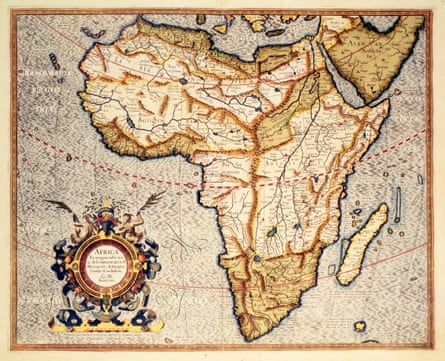
View image in fullscreenA 16th-century map of Africa from Mercator’s atlas. Photograph: Royal Geographical Society/Getty Images
Such stereotypes influence media, education and policy, she said.
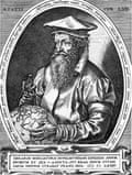
Gerardus Mercator.
Photograph: Archive Photos/Getty Images
Criticism of the Mercator map is not new, but the Correct the Map campaign led by the advocacy groups Africa No Filter and Speak Up Africa has revived the debate, urging organisations to adopt the 2018 Equal Earth projection, which tries to reflect countries’ true sizes.
“The current size of the map of Africa is wrong,” said Moky Makura, the executive director of Africa No Filter.
“It’s the world’s longest misinformation and disinformation campaign, and it just simply has to stop.”
Fara Ndiaye, a co-founder of Speak Up Africa, said the Mercator affected Africans’ identity and pride, especially children who might encounter it early in school.
“We’re actively working on promoting a curriculum where the Equal Earth projection will be the main standard across all [African] classrooms,” Ndiaye said, adding she hoped it would also be the one used by global institutions, including Africa-based ones.
Haddadi said the AU endorsed the campaign, adding it aligned with its goal of “reclaiming Africa’s rightful place on the global stage” amid growing calls for reparations for colonialism and slavery.
The AU will advocate for wider map adoption and discuss collective actions with member states, Haddadi added.
The Mercator projection is still widely used, including by schools and tech companies.
The AU will advocate for wider map adoption and discuss collective actions with member states, Haddadi added.
The Mercator projection is still widely used, including by schools and tech companies.
Google Maps switched from Mercator on desktop to a 3D globe view in 2018, though users can still switch back to the Mercator if they prefer.
Links :
- DowntoEarth : Gerardus Mercator: Why the 16th century Fleming cartographer is in the African Union’s crosshairs
- GeoGarage blog : Mercator projection : the Greenland problem / Mechanics of map projections : the myth of Mercator / World Mercator projection with true country size added / First NOAA nautical map in Mercator projection / Princeton astrophysicists re-imagine world map, designing ... / The world map of the future might be vertical / The shape of the World, according to old maps / Why your mental map of the world is (probably) wrong / Gerardus Mercator : father of modern mapmaking / Japan's 'Good Design Award' goes to this crazy accurate ... / Google Maps now has a "Globe" projection instead of Web ... / These are the cleverest, weirdest mapping ideas ever ... / Advisory notice on "Web Mercator" / From Ptolemy to GPS, the brief history of maps / The end of the map : why the World looks the way it does / Lies, damned lies and maps / Finally, a world map that's all about oceans
No comments:
Post a Comment