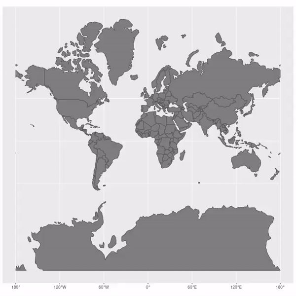
How the Mercator projection distorts the true sizes of countries on maps
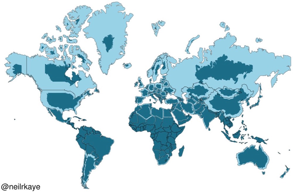
map made by Neil Kaye, data scientist
courtesy of Jaub Nowosad
..., distorsion particulary in the Northern hemisphere
However Mercator was not developed as a way of manipulating people's perceptions about the size of non-European countries.
It was 'invented' by the Flemish geographer and cartographer Gerardus Mercator in 1569 and became the standard map projection for nautical navigation because of its ability to represent lines of constant course, known as rhumb lines.
Links :
- EqualEarth
- GeoGarage blog : Mercator projection : the Greenland problem / First NOAA nautical map in Mercator projection / Google Maps now has a "Globe" projection instead of Web Mercator /
Advisory notice on "Web Mercator" / Gerardus Mercator : father of modern mapmaking / Japan's 'Good Design Award' goes to this crazy ... / Ancient world maps / How to lie with maps / Lies, damned lies and maps / Why modern maps put everyone at the centre of the ... / From Ptolemy to GPS, the brief history of maps
VisualCapitalist : Mercator Misconceptions: Clever Map Shows the True Size of Countries
ReplyDelete