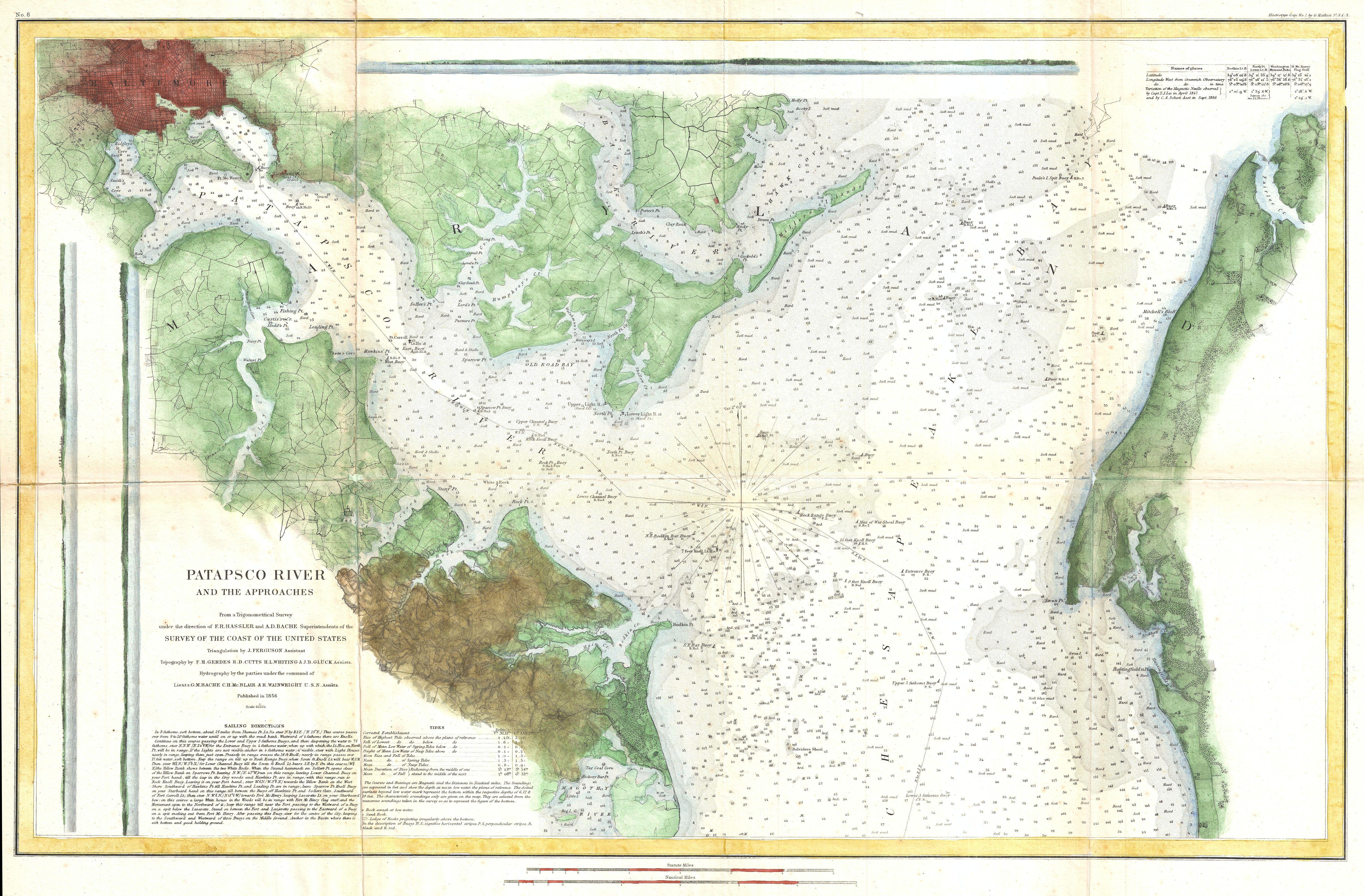
Patapsco River, Chesapeake Bay, Baltimore 1856
Patapsco River, Chesapeake Bay, Baltimore with the GeoGarage platform (2018 NOAA chart)
Plymouth, MA (1857, scale 1:20,000)

Plymouth, MA with the GeoGarage platform (2018 NOAA chart)
Plymouth, MA (1857, scale 1:20,000)

Plymouth, MA with the GeoGarage platform (2018 NOAA chart)
San Antonio Creek, Oakland, CA 1857
San Antonio Creek, Oakland, CA with the GeoGarage platform (2018 NOAA chart)
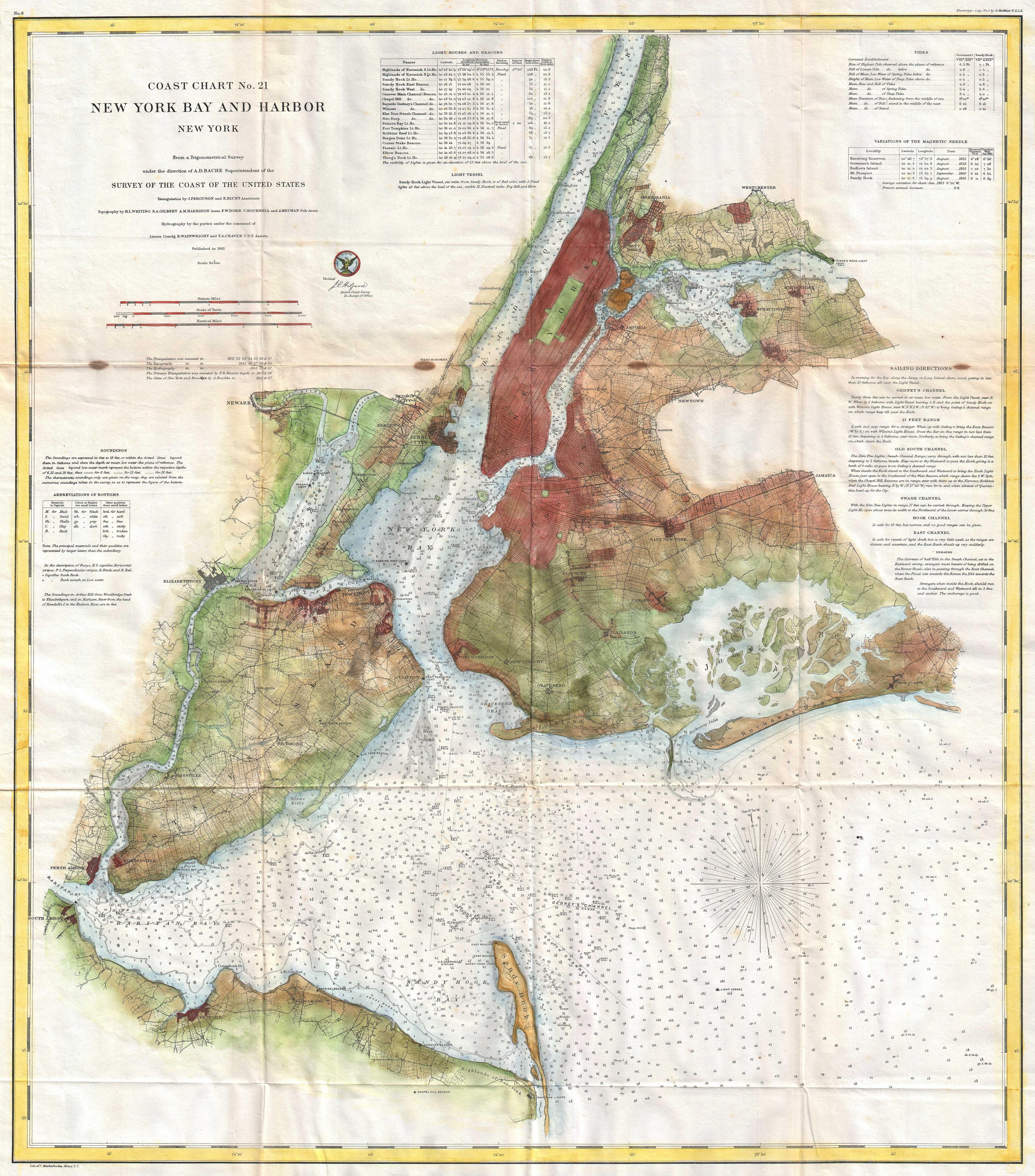
New York Bay and Harbor 1861
New York Bay and Harbor with the GeoGarage platform (2018 NOAA chart)
Links :
- NOAA : Charting History


_-_Geographicus_-_SanAntonioCreek-uscs-1857.jpg)


No comments:
Post a Comment