
Coral Sea cliff
"It's like a road cutting, when you drive through you can see the layers
of the rock, but it's like a giant version of that,"
"We're very keen to go and have a look at it and study it."
"We're very keen to go and have a look at it and study it."
Dr Beaman said.
From SydneyUniversity
An underwater cliff recently discovered in the Coral Sea will help shed light on the ancient past, and could also prove to be a hotspot of marine life diversity.
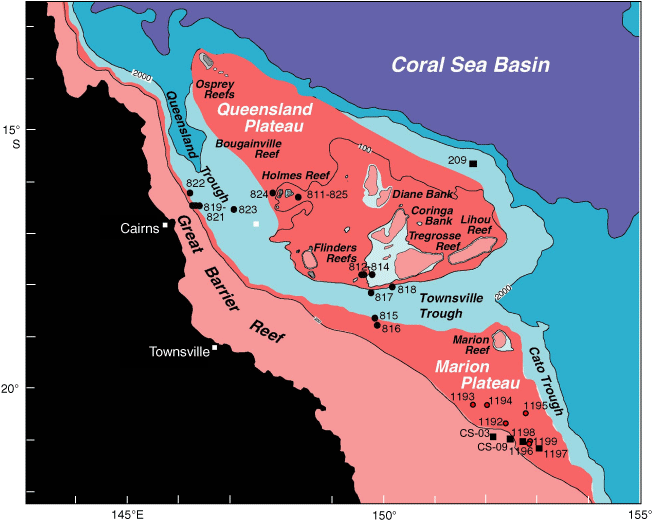
The steep, 800-metre cliff is on the western edge of the Queensland Plateau, to the northeast of Cooktown.

The cliff is located about 130km northeast of Cooktown on Cape York and
runs 30km along the Queensland Plateau - a large submarine plateau off
the eastern side of the state.
>>> geolocalization with the Marine GeoGarage <<<
It was found during a collaborative expedition by German marine scientists and Australian researchers from James Cook University and the University of Sydney.
During June and July, working on one of Germany’s largest research vessels, the RV Sonne, scientists have been mapping the seafloor of the northern Coral Sea – from Papua New Guinea, south along the deep Great Barrier Reef to Townsville, and then east into New Caledonian waters.
“Using a deep-water, multibeam swath echosounder, we were able to detect a steep cliff in an area where we would usually expect to find a gradually sloping seafloor,” said Dr Robin Beaman, from JCU’s School of Earth and Environmental Sciences.
“The top of the undersea cliff lies in about 1800 metres of water and drops nearly vertically into the Queensland Trough at 2600 metres.”

Canyons site east of Cairns
The cliff could record the layers of coral growth that formed on the Queensland Plateau before subsiding to its present depth over the past several million years.
“Elsewhere in the world, such steep cliffs are also the habitats for prolific marine life, so this discovery will be used to plan a future expedition to sample the seafloor,” Dr Beaman said.
The RV Sonne also obtained sediment cores from submarine canyons lying in the deep Great Barrier Reef to the east of Cairns.
These canyons line the edge of northeastern Australia’s continental margin and are known to be the conduits of sediment draining off the reef into the Queensland Trough.
“We targeted one canyon in particular because it was connected to an ancient river channel on the Great Barrier Reef shelf,” said Dr Jody Webster, from the School of Geosciences at the University of Sydney.
“During times of lower sea-levels, such as during the last ice age about 20,000 years ago, these rivers would have drained at a coastline much further east than now, and likely dumped river sediments directly into connecting canyons.
--> “The sediments recovered from this canyon, and another canyon nearby, will help us to understand the environmental responses of the Great Barrier Reef during changing sea-levels, and the role of submarine canyons in recording those responses,” said Dr Webster.
“Examining sediment cores is much like looking at tree rings to understand the changes to the environment during the life of a tree – they will reveal both the type and timing of sediment deposited from the Great Barrier Reef.
“Analysing these sediments will reveal a great deal about the effects of climate change on the reef,” Dr Webster said.
These new canyon cores and seafloor maps (covering 13,800 square kilometres to date) will contribute to ongoing marine research being conducted on the deep Great Barrier Reef and Coral Sea by JCU and the University of Sydney.
“The data from this collaborative expedition are timely, given the area’s recent inclusion in the Coral Sea Commonwealth Marine Reserve,” Dr Beaman said.
“It shows there is still much to discover about the deep environments of the Coral Sea.”
Links :
- Sydney Univ : Underwater landslides discovered off the Great Barrier Reef
No comments:
Post a Comment