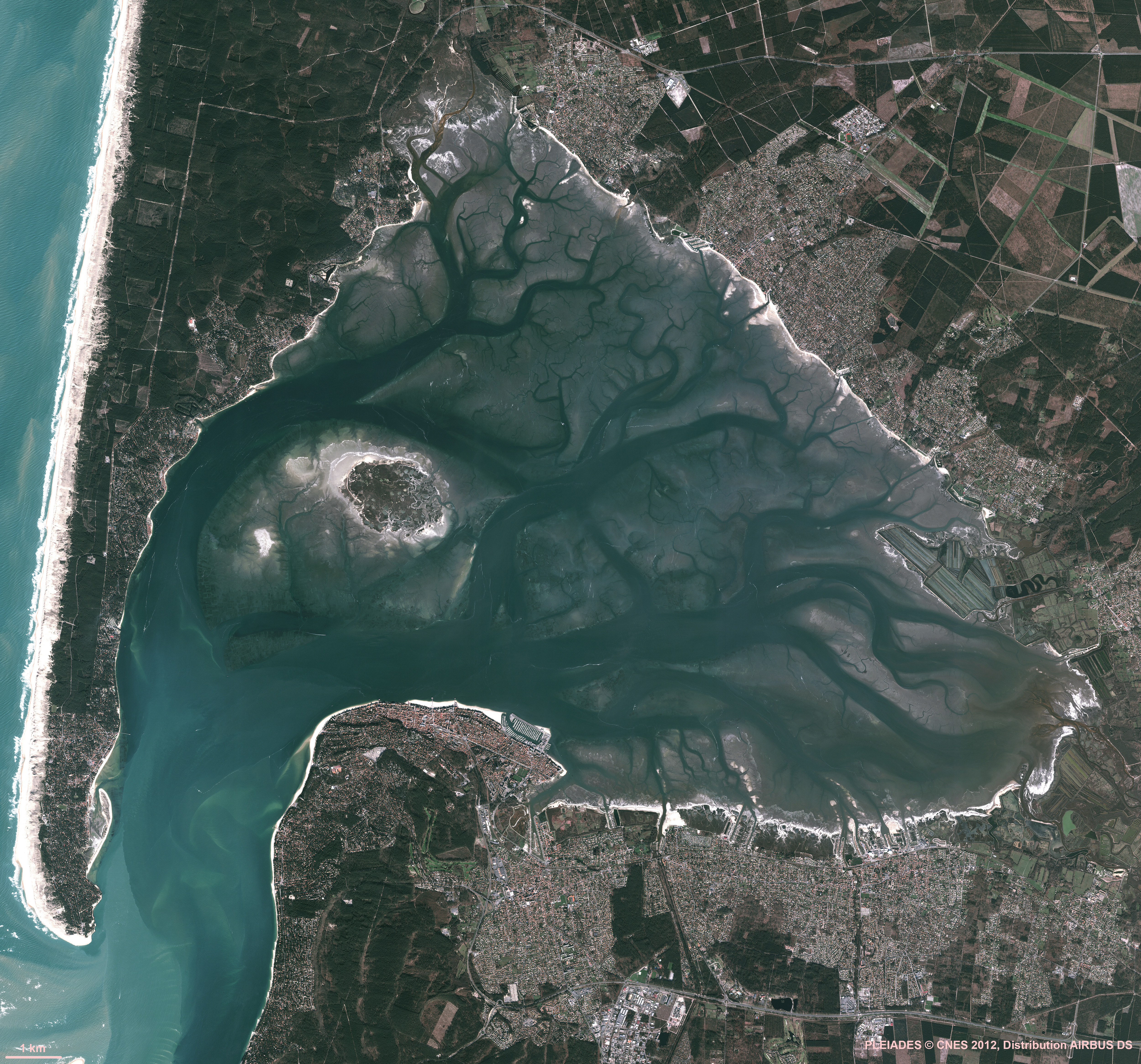
Ortho littorale v2 (2011) MEDDE
All the aerial stitched pictures were made in the quest of optimum viewing
with the specific conditions:
no swell, no rain for 48 hours, large tide (foreshore) and lower low water (water depth less than 1m), ...
Arcachon (OrthoLittorale v2 view)
Note : this layer can be accessible as any GeoGarage georeferenced layer for external webmapping applications via the GeoGarage API.
So don't hesitate to contact us if your are interested.
So don't hesitate to contact us if your are interested.
Links :
- GeoGarage blog : Ortho Littorale France Méditerranée v2


No comments:
Post a Comment