
Read this book online : download this eBook
member of the American Society of civil engineers
director of Coast Surveys, Philippine islands, 1900 to 1906
director of Coast Surveys, Philippine islands, 1900 to 1906
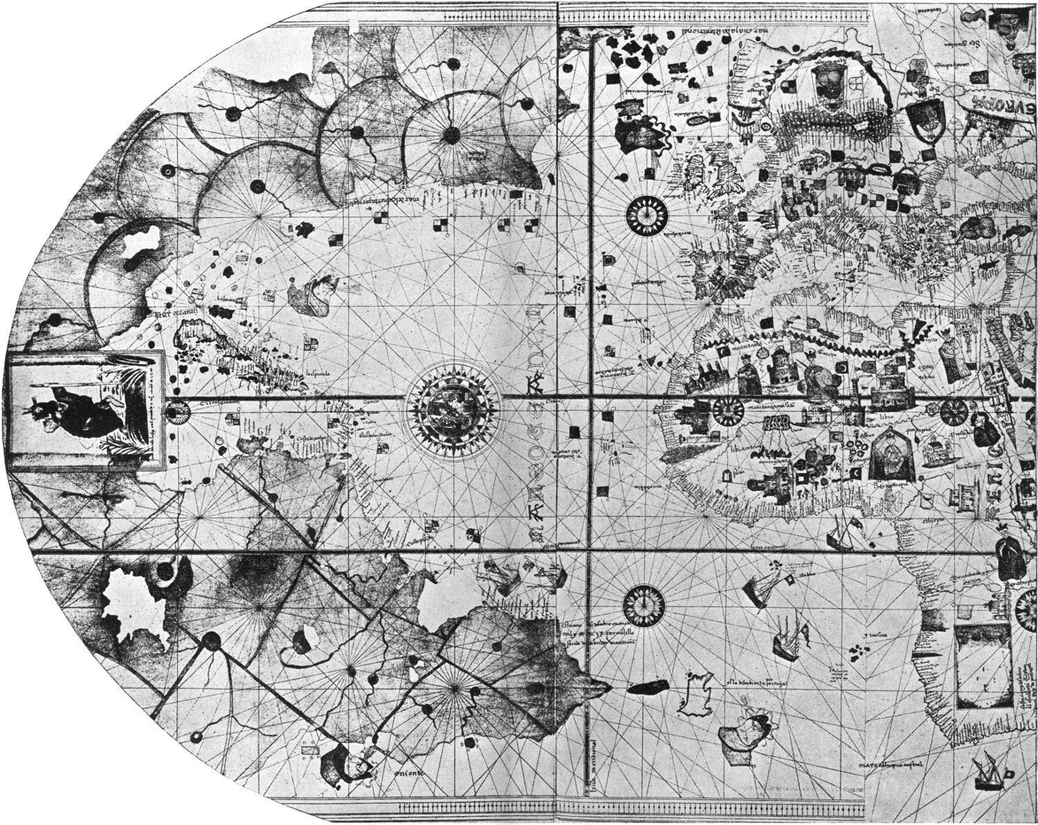
CHART OF NORTH ATLANTIC OCEAN, BY JUAN DE LA COSA, 1500.
EARLIEST EXTANT CHART SHOWING AMERICA.
EARLIEST EXTANT CHART SHOWING AMERICA.
In the countries of the world more than a million copies of such charts are now issued annually.
A considerable portion of the human race is interested directly or indirectly, whether as mariners or passengers or shippers, in navigation upon the sea.
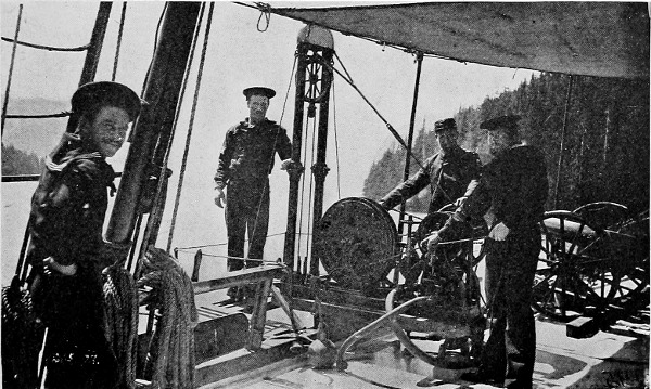
THE SIGSBEE SOUNDING MACHINE ON A SURVEYING VESSEL.
This paper has intentionally been made as non-technical
as seemed feasible in treating a somewhat
technical subject.
CONTENTS
| PAGE | |
| List of Books or Papers bearing on Nautical Charts and related Subjects | vii |
| Charts and Maps | 1 |
| Collection of Information for Charts | 31 |
| Preparation of Information for Charts | 67 |
| Publication of Charts | 84 |
| Correction of Charts | 97 |
| Reading and Using Charts | 112 |
| Use of Charts in Navigation | 124 |
| Publications Supplementing Nautical Charts | 154 |
| Index | 161 |
No comments:
Post a Comment