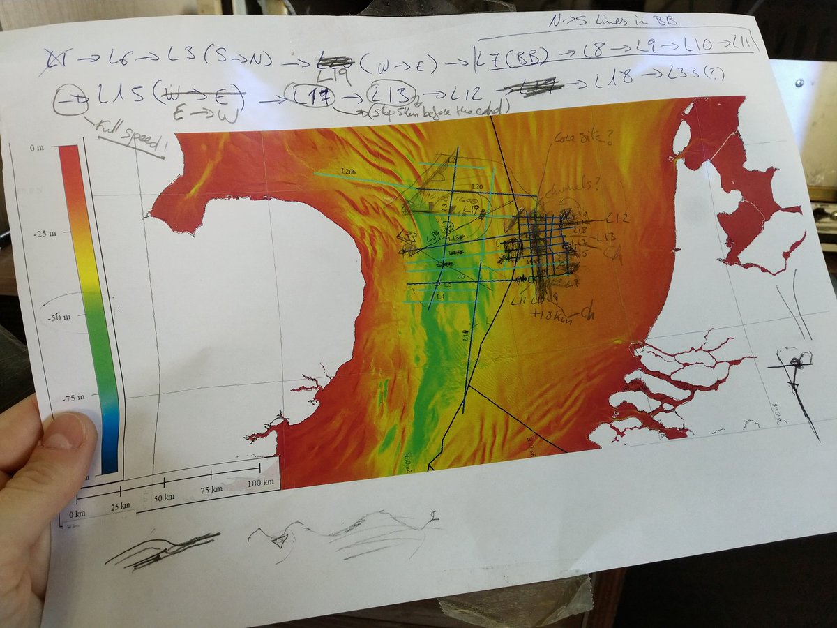
This is the survey plan.
British and Belgian scientists are
exploring the sea bed off Norfolk hoping to find evidence that Stone Age
people lived there when it was still dry land.
In recent years,
some trawler crews and researchers have found prehistoric animal bones
and basic stone tools in North Sea sediment.
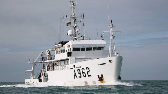
The RV Belgica: Exploring new frontiers under the North Sea
Mesolithic people are thought to have lived there in about 10,000-5,000BC.
"We suspect that the bank is on the edge of a large prehistoric lake, where you would expect settlements," said Prof Vince Gaffney, an archaeologist at the University of Bradford.
Despite the prehistoric finds from the North Sea bed, so far no Mesolithic settlement has been found in that vast area, which flooded after 6,000BC as the Ice Age glaciers retreated.
Eventually the British Isles were cut off from the continent.
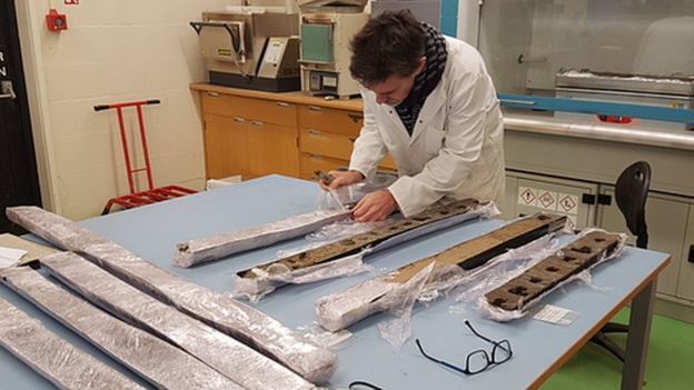
Sediment cores are collected in the quest for signs of Stone Age life
"Areas under the North Sea now would have been the best to live in during the Mesolithic [period] - prime real estate, because the coastlines then had fish, birds, fresh water. But it is terra incognita," Prof Gaffney said.
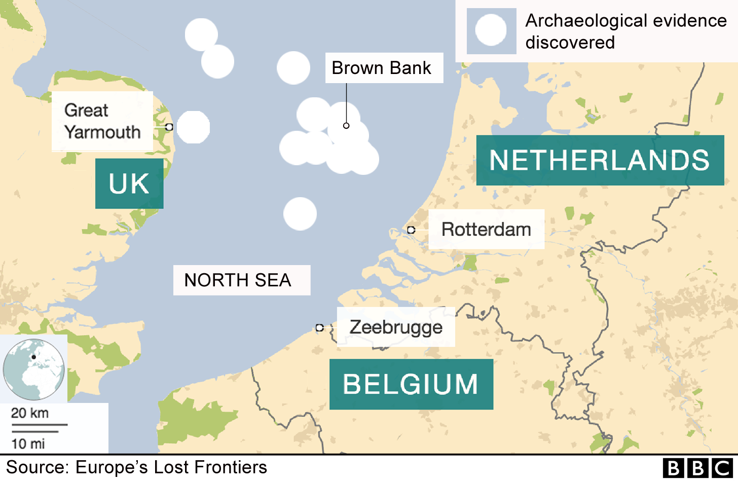
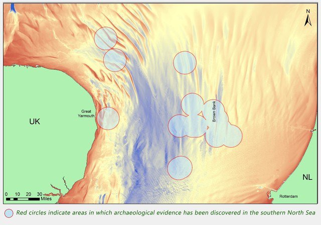
Brown Bank is about 100km (62 miles) from the Norfolk coast.
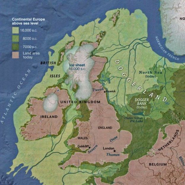
It used to form part of a vast plain known as Doggerland.
For much of the Stone Age, before the Neolithic period, humans were nomadic hunter-gatherers.
But a Mesolithic settlement was discovered at Howick village, near the Northumberland coast - evidence that as long ago as 10,000BC some communities in Britain were no longer nomadic.
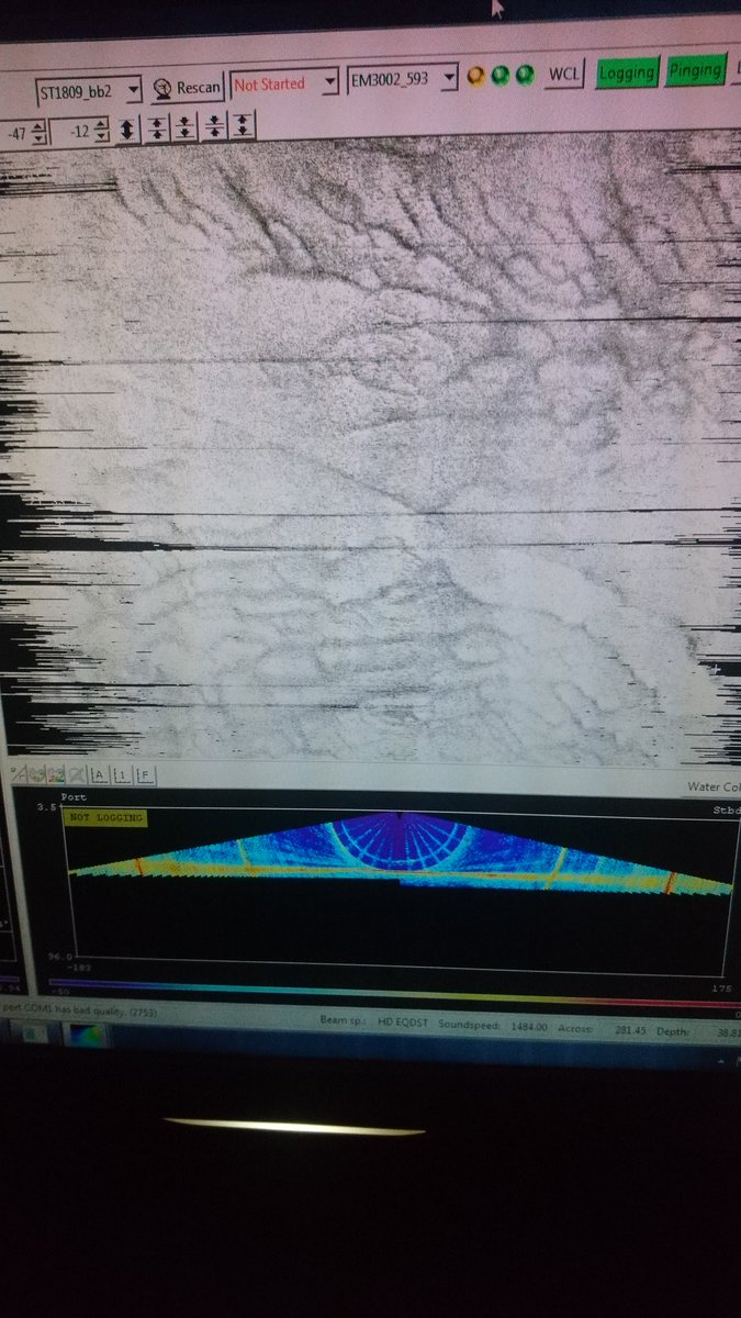
EM3002 multibeam sonar revealing a strange world of sand structures beneath
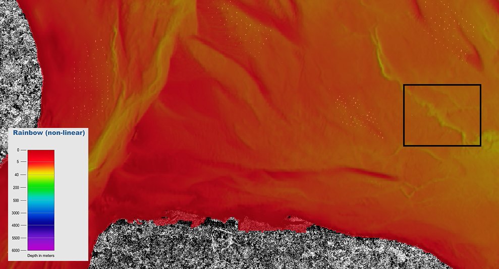 #Sentinel1 view palaeo-channel survey target off East Anglia coast.
(S1 data shown on top of @EMODnet bathymetric data)
East Anglia with the GeoGarage platform (with chart derivated from UKHO material)
See all the wind farms when on station (Dudgeon Offshore Wind Farm)
But Brown Bank awaits detailed mapping, and then sediment core sampling, to look for DNA and other evidence of prehistoric life.
"The area is so large that complete cultures could be out there," said Prof Gaffney, whose research project is called Lost Frontiers.
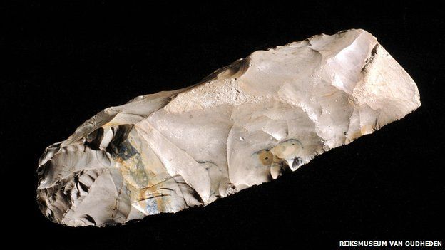
This was identified as a Mesolithic axe, found in the North Sea by a Dutch fisherman in 1988
Ghent University geologist Dr David Garcia Moreno said the Belgica team could collect seabed samples and video sites of interest, but the goal at this stage was to understand the underwater topography in detail.
They will use sonar and seismic equipment for that.
"We want to understand the evolution of rivers that traversed the southern North Sea.
"We think there was a Palaeolithic lake and a large river system all the way from north-west Germany south through Brown Bank to the Dover Strait," he said.
A map showing land around Britain and how it has been lost to the sea over the millennia
It still has at least two years to run.
The Belgica is quite cheap to hire and they are already looking forward to their next expedition, Dr Garcia said.
But Doggerland is not the only undersea territory yet to be mapped and explored for prehistoric remains.
Prof Gaffney says the Bering Strait, off Alaska, and Indonesia's Sunda Strait are bigger.
Who knows what prehistoric secrets lie there?
Links :
- BBC : Scientists search for 'lost land' life / North Sea 'Atlantis' hit by tsunami / The moment Britain became an island
- YouTube : Late-Glacial/Early Holocene Palaeoenvironments and Evidence for the 8.2 ka Event in the North Sea
- University of Bradford : Lost at sea! Expedition to find lost prehistoric settlement

No comments:
Post a Comment