The Area of Damage by the Lituya Bay Tsunami
From Medium by Daniel Ganninger with sources: Geology.com, NOAA, USC, UWGB
During the night of July 9, 1958, the largest recorded wave in history occurred in Lituya Bay, Alaska.
During the night of July 9, 1958, the largest recorded wave in history occurred in Lituya Bay, Alaska.
It reached an astonishing height of 1,720 feet.
As a frame of reference, the Empire State Building is 1,250 feet tall.
Lituya Bay with the GeoGarage platform, NOAA nuatical raster chart
The wave was caused by a massive earthquake along the Fairweather Fault, which runs west of Juneau along the Alaska Panhandle.
The earthquake measured 7.9 on the Richter scale.
Rock that was 3,000 feet above the Gilbert Inlet of Lituya Bay loosened and fell into the water.
The estimated amount of rock was around 30.6 million cubic meters or 1.08 billion cubic feet of material.
That equals about 2.85 million dump truck loads of rock.
Trimlines carved by tsunami in 1958: (a) NE-view of Lituya Bay from Cenotaph Island to Gilbert Inlet with landslide scar at the head of the bay and trimlines of destructed forest with 524 m runup on spur ridge. (b) NW-view of Gilbert Inlet with landslide scar, post-event Lituya Glacier front, forest destruction and soil erosion down to bedrock. (c) N-view of spur ridge. (d) S-view of trimline in the Mudslide Creek area on the south shore of Lituya Bay with wiped out trees to an elevation of 208 m. (Photos: courtesy of USGS).
When the impact occurred, it generated a tsunami that spread along Lituya Bay and even traveled over land that separated Gilbert Inlet from the bay.
When the tsunami finally exited into the Gulf of Alaska over the La Chaussee Spit, the land had been scoured clean up to a height of 1,720 feet.
Millions of trees were swept into the Gulf of Alaska.
The 1958 Lituya Bay tsunami event in Alaska showing the maximum recorded tsunami runup of 524 m in the direction of landslide prolongation inside Gilbert Inlet (Fritz et al., 2001).
The largest area of settlement at the time of the earthquake was Yakutat.
The area saw only moderate damage from such a large earthquake.
Damage was also noted in Juneau, the capital of Alaska.
Simulation of the Lituya Bay tsunami generated by the 1958 Alaska earthquake.
Three people died in Yakutat on Khantaak Island, about 105 miles north of Lituya Bay, when part of the island fell into the sea, and two other people on a fishing boat in Lituya Bay were swept away while it was anchored near the mouth of the bay
Eyewitness accounts from other boaters who survived the tsunami reported that it was 100 feet in height by the time it got to the mouth of the bay.
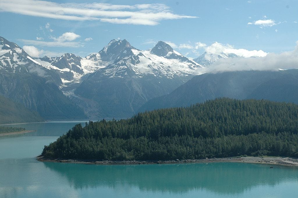
 Lituya Bay, Alaska Today
This wasn’t the first time a tsunami had hit this area.
Four other large waves in 1853, 1874, 1899, and 1936 had been documented, but the 1958 slide removed any traces of these previous waves.

The Area of the 1958 Earthquake USGS(Full)
Links :


No comments:
Post a Comment