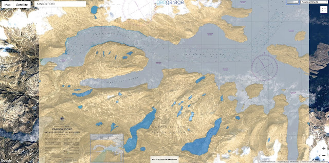
 50 nautical raster charts updated & 2 new charts added
see GeoGarage news
Learn how nautical charts and publications are made and why they are necessary for marine transportation.
Mountains, sunken vessels and shoal.
There are many obstacles impeding mariner safety in our waters.
Learn how the Canadian Hydrographic Society uses cutting-edge technology to look below the surface and develop various navigational products to keep our waterways and mariners safe.
No comments:
Post a Comment