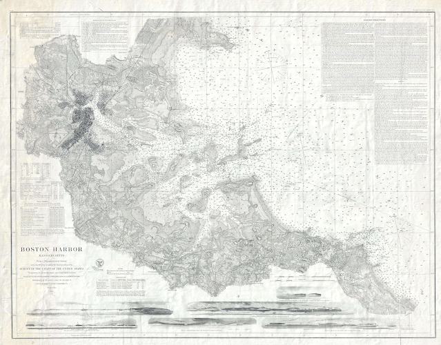
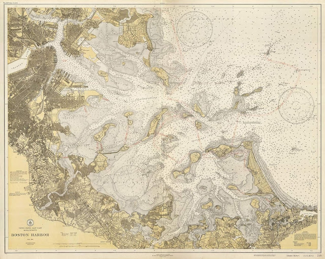
Made circa 1775, this nautical chart of Boston Harbor shows coastlines in detail, navigational hazards like sandbanks, & depths by soundings, but almost no place names.
Can you find your way around?
see LOC
source BostonRareMaps
1867 U. S. Coast Survey Nautical Chart or Maritime Map of Boston Harbor
siource : Geographicus


No comments:
Post a Comment