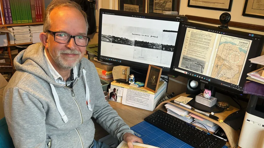
Adrian Webb started his project in 2003 researching the covert Hydrographic department
From BBC by Jasmine Ketibuah-Foley
An historian who brought to light a clandestine Hydrographic department, integral to the success of D-Day, is on the hunt for the people that worked in it.
An historian who brought to light a clandestine Hydrographic department, integral to the success of D-Day, is on the hunt for the people that worked in it.
A British Admiralty "Beach Chartlet," for the Invasion of Normandy, covering the route to the British Beach-head "Sword," just outside the port of Ouistreham.
Dating from February 1944, this map was probably used in preparatory planning for the D-Day invasion, and shows the levels of planning that took place for the Invasion of Europe.
Since 2003, Adrian Webb has researched the covert department, predominantly based in Taunton and Bath.
In 1944 its 1,100 workers produced a "staggering" seven million nautical charts that showed servicemen and allies the exact locations and routes to take during the Normandy landings.
Mr Webb said without their "tireless" work the invasion might well have failed.
In 1944 its 1,100 workers produced a "staggering" seven million nautical charts that showed servicemen and allies the exact locations and routes to take during the Normandy landings.
Mr Webb said without their "tireless" work the invasion might well have failed.
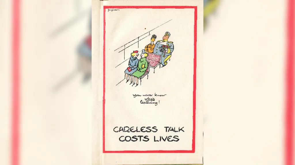
Many of the posters on the walls reflected the secret nature of the department where the staff worked during the Second World War
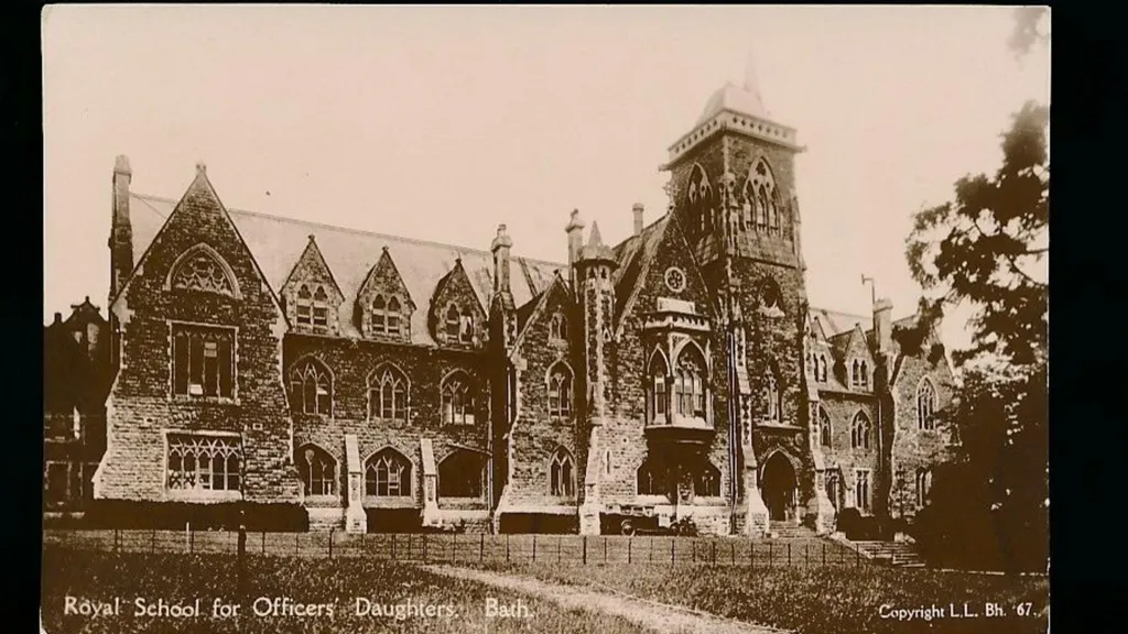
One of the locations used for drawing the top Secret charts was the Royal School for Officers' Daughters in Bath
"It's difficult to imagine the levels of secrecy back in the 1940s," he said.
"Through corroborated stories, we understand there was a worker who was overheard talking about what they were doing.
"That person was shipped off to Iceland."
In Bath, the department drew "complicated" master copies of charts that "really pushed people's technical limits".
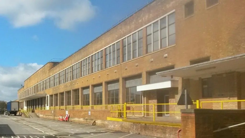
This is thought to be one of the final views of a purpose-built chart factory before it was demolished
Ian Coleby
They were then securely delivered to a purpose built factory in Taunton where they were printed in "unimaginable numbers".
"In the year of 1938 they issued around one million charts and books and in 1944 it staggeringly produced around seven million charts," he said.
"It was unprecedented really."
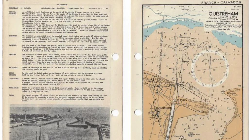
An extract from the Channel Handbook published by the Hydrographic Department for use during D-Day, showing Ouistreham in 1943
A stamp bearing the word "bigot" was often printed on many of the operational documents
“Bognor to the Needles Route Chatlet” prepared by the Hydrographic
Department of the Admiralty on the 29th March 1944 in preparation for
the D Day landings.
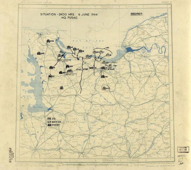
Map annotated by the U.S. Army 12th Group to provide situational awareness of their end-of-day position and known German unit locations.
Following D-Day, situation maps like this one became a daily requirement.
Following D-Day, situation maps like this one became a daily requirement.
"It's a true testament to the workers who did incredibly long , tireless hours to get them ready."
Mr Webb said the most amazing stories came from the workers themselves and their families.
"I believe there are still five people alive who worked in the department and most of them are now 100 years old," he said.
Mr Webb said the most amazing stories came from the workers themselves and their families.
"I believe there are still five people alive who worked in the department and most of them are now 100 years old," he said.
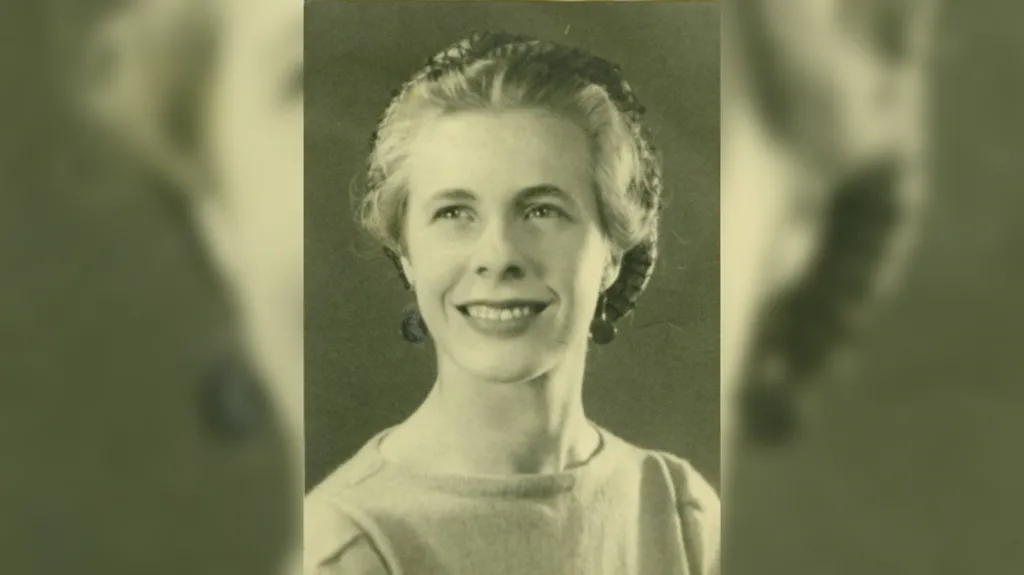
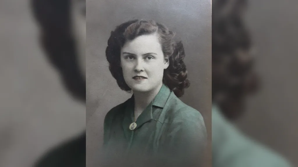
Jeanne Bullard was one of the Map Girls who worked in Bath drawing charts during World War Two
Alan Bullard
"A lady called Ivy, who has now passed away, told me she was tasked with taking a roll of top secret charts from Bath to Taunton by train.
"They locked her into a carriage for security and waited to meet a policeman in Taunton who would deliver her to the factory.
"But unfortunately when she arrived, no-one was there.
Susan Rostron
"It was late at night, there was a blackout, she just started walking.
"After a while the department feared the worst when she had not arrived and found the policeman exhausted and alseep at his home.
"On an act of faith the department flicked their lights on and off to signal to her and show her where to go in the hope she was walking to them."
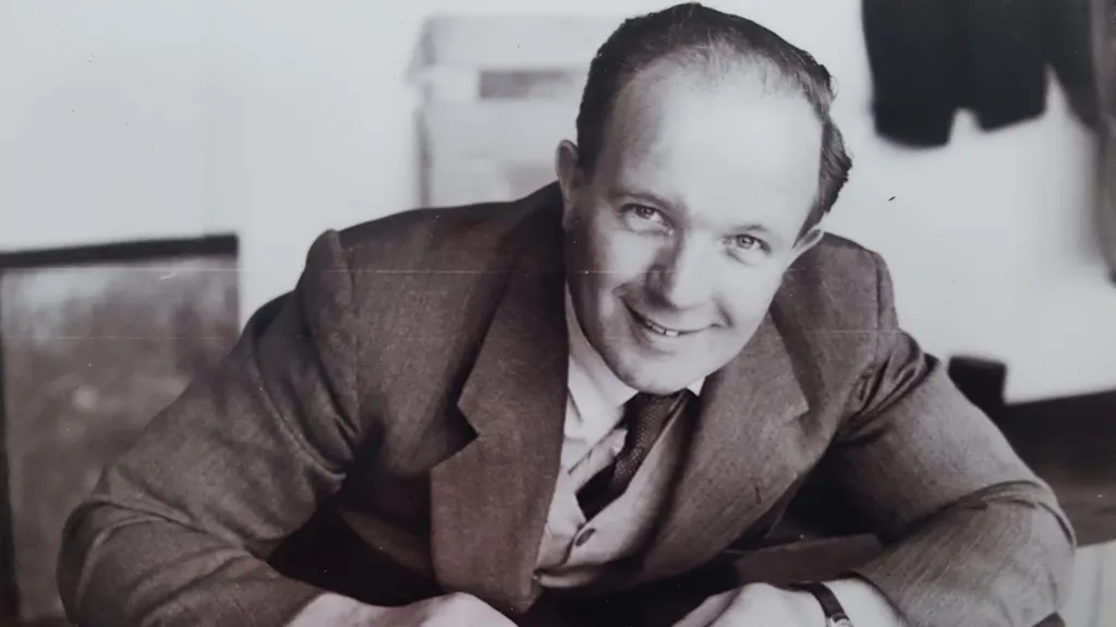
Percy Fletcher was a copperplate engraver who worked in Exeter and Taunton for the department during the Second World War
Pauline Sutton
He said she "thankfully" eventually made it and "saved the day".
"If those handdrawn documents had not arrived D-Day could have been delayed," he added.
Mr Webb said he was sure there were more people out there with more stories about the department.
"Out of the 1,100 people I've only spoken to a few. If anyone knows a person, a relative who had worked in the department please let me know," he added.
His book, Churchills Secret Chart Makers: The Road to D-Day and Beyond has been published ahead of the D-Day anniversary on 6 June.
Links :
- Warfare History : Winston Churchill’s Secret D-Day Weapon
- DailyMail : Top secret D-Day invasion maps that were drawn up to confuse Hitler's troops defending France are uncovered in suitcase belonging to a veteran who stormed Normandy
- BBC : The Irish lighthouse keeper who gave D-Day the go-ahead
- GeoGarage blog : Mapping out a vital part of D-Day history




No comments:
Post a Comment