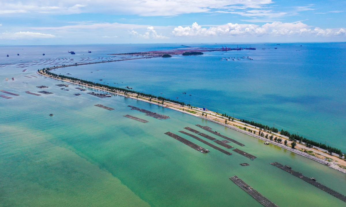
An overview of the Beibu Gulf in South China.
Photo: CFP
From Global Times
China announced the baseline of the northern part of the Beibu Gulf in South China, marking another key step in the delineation of its territorial sea baseline, experts said.

Beidu Gulf in the GeoGarage platform (UKHO nautical raster map)
The Chinese government issued a statement on Friday, regarding the baseline of the northern part of the Beibu Gulf in accordance with the Law on the Territorial Sea and Contiguous Zone promulgated in 1992.
This delineation of the baseline of the northern part of the Beibu Gulf represents the second step in the three-step process of delineating China's territorial sea baseline, completing the delineation of all baselines located in the southern part of China, which is of great significance, according to Fu Kuncheng, a special research fellow from the Belt and Road Research Institute of Xiamen University, as quoted by Shenzhen TV.
Previously, the Chinese government had twice announced the geographical coordinates of some of its territorial sea baselines and points.

"Map of lost territories and waters of China" - Republic of China (Beiyang government), Nov 1925.
Xie Bing, map from a pamphlet "History of Chinese Territorial Loss"
The first announcement was made in 1996, when the Chinese government declared the baseline of the inland territorial sea and the names and geographical coordinates of 77 territorial sea points in the Xisha Islands.
The second announcement was made in 2012, when China declared the baseline of the Diaoyu Islands and their affiliated islands, along with the names and geographical coordinates of 17 territorial sea points.
After this third delineation, the only part of China's territorial sea baselines that has not been fully disclosed is the one alongside the Liaodong Peninsula in the Bohai Sea, observers pointed out.

1873 British Admiralty Nautical Map of the South China Sea: Hong Kong, Philippines, Vietnam
This is an exceptional 1867 / 1873 British Admiralty map of the South China Sea, including Hong Kong and the Philippines, representing some of the world's most disputed waters.
Coverage embraces from the Vietnamese coast and Tong-King Gulf east to the western Philippines, and from the Pearl River Delta, as far as Guangzhou & Canton; and Southern Taiwan, to Mindoro and northern Palawan.
The map illustrates some of the world's most trafficked and disputed seas, including primary nautical routes to Hong Kong, Macao, Guangzhou, Taiwan, and Manila.
There are inset maps detailing Macao and Hong Kong.
The Macao map is based on the 1866 surveys of W. A. Read.
The Hong Kong map follows the 1841 Belcher chart, with updates in sounding and around Hong Kong city
This is a sailed nautical chart with copious pencil annotations reflecting several c. 1890s voyages between New York, Hong Kong, the Philippines, and Cardiff.
Disputed Seas
This part of the South China Sea is central to geopolitical tension focused on territorial disputes over various atolls, islets, and reefs.
Central to these disputes are the Paracel Islands at center and the Spratley Islands ;south of this map, both of which are subject to overlapping territorial claims by China, Taiwan, Vietnam, the Philippines, Malaysia, and Brunei.
These claims are driven by strategic military interests, potential natural resources, and crucial shipping lanes.
The situation is further complicated by the construction of artificial islands and military installations, particularly by China.
These have led to international condemnation and increased military presence from other nations, including the United States, underscoring the area's status as a flashpoint in regional and global politics.
The territorial sea baseline is the starting line for coastal countries to establish maritime jurisdiction claims, and also represents the outer limit of the national land territory boundary.
According to the United Nations Convention on the Law of the Sea, coastal states can have a territorial sea width of 12 nautical miles (22.22 km), a 200-nautical mile exclusive economic zone, and a continental shelf of up to 350 nautical miles.
According to the United Nations Convention on the Law of the Sea, coastal states can have a territorial sea width of 12 nautical miles (22.22 km), a 200-nautical mile exclusive economic zone, and a continental shelf of up to 350 nautical miles.
However, due to the Beibu Gulf, a semi-enclosed bay surrounded by the inland of China and Vietnam and Hainan Island of China, having a maximum width of no more than 180 nautical miles, according to the United Nations Convention on the Law of the Sea, the exclusive economic zones and continental shelves of the two countries in the Gulf overlap entirely, making the entire Gulf an overlapping area of Chinese and Vietnamese claims, which must be resolved through delimitation.
Prior to the 1960s, China and Vietnam only exercised jurisdiction based on the width of the territorial sea declared by each other, sharing resources within the bay, with no major issues arising.
In the early 1970s, with the development of modern maritime legal systems, the issue of delimiting the territorial sea, exclusive economic zone, and continental shelf in the gulf between China and Vietnam emerged, reported by Shenzhen TV.
On June 30, 2004, representatives of China and Vietnam signed an agreement on the delimitation of the territorial sea, exclusive economic zone, and continental shelf in the Beibu Gulf, achieving a fair delimitation result satisfactory to both parties.
The signing of this agreement marked the establishment of the first maritime boundary of China.
However, the delimitation agreement in 2004 did not fundamentally eliminate the maritime disputes between China and Vietnam in the relevant waters, as the boundary facing the sea was still unclear, Fu said.
Fu said that only with the determination of the baselines can law enforcement officers clearly measure and calculate the outer boundary of the 12-nautical mile territorial sea from the straight baseline.
"Although there has always been a 12-nautical mile territorial sea, it was never precise. If someone was right on the edge of that 12-nautical mile, there was no clear boundary, making it difficult to comply. It would also be difficult for China to enforce the law," he explained.
"By determining these baselines, we can further clarify the outer boundary of our territorial sea in the Beibu Gulf on the nautical chart, and the outer boundary of the 200-nautical mile will also be very clear."
Links :
- GeoGarage blog : South China Sea's subsea features get new Chinese names
No comments:
Post a Comment