From Europeana Labs by Annapaula Freire de Oliveira
Get making with our favorite world maps
We can hardly imagine our daily lives without the precise location information we have at our fingertips – on the screens of our mobile phones or computers.
The last century is considered to be a golden age of map-making.
It has transformed our everyday lives and knowledge of the world, and the digital revolution continues!
However, before globetrotters could trust digital maps to guide them to faraway places, early explorers had to resort to much simpler representations of the world, often drawing the maps themselves throughout their travels.
If you’re fascinated by maps and their history, join us as we outline how early cartographers represented the world as they knew it.
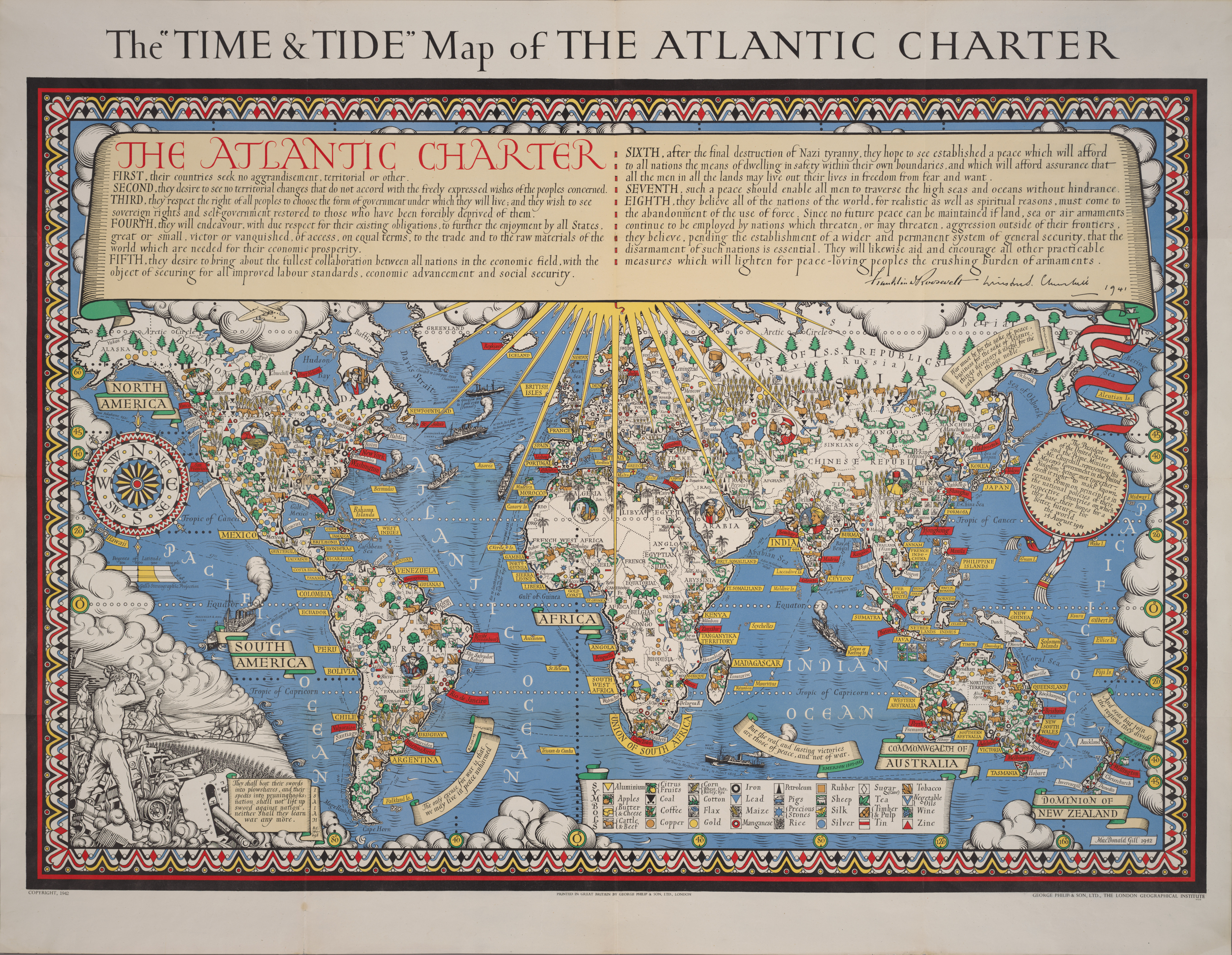
Check out our selection of freely to reuse world maps below to see how cartographers found different ways to represent their understanding of our planet.
T-O maps
The T-O map represents the physical world as first described by the 7th-century scholar Isidore of Seville.
Below a detail of a 14th century 'T-O' map of the world, with Asia, Europe, and Africa marked.

Map from BL Eg 1500, f. 3v. Paolino Veneto. The British Library. Public Domain Marked.
Mappae Mundi
A mappa mundi is a medieval European map of the world.
Take a look at a reproduction of one of the world's most famous maps, named after the Hereford Cathedral in England.
Typical of many medieval maps, the center of the world is presented as the holy city of Jerusalem.
Earth is depicted as a disk and as land surrounded by seas.

Richardi
de Haldingham seu de Bello Mappamundi inter annos 1276-1283 p.
Ch.conspirata Herefordi Angliae consrvata : [Херефордска карта] |
Miller, Conrad ed.
National Library Of Bulgaria.
Public Domain Marked. Genoese map
HR picture
National Library Of Bulgaria.
Public Domain Marked. Genoese map
HR picture
Genoese map
Based on the account of the traveler Niccolo da Conti to Asia, the Genoese map is a 1457 world map that possesses a Genoese flag in its upper northwest corner, along with the coat of arms of the Spinolas, a prominent Genoese mercantile family.

Mappemonde, Genoes world map. 19th century. National Library Of France.
Public Domain Marked. Atlas
Atlas
An atlas is a collection of maps.
Find below a 16th century map from the Water Atlas of the World representing the proverbial "four winds", one from each of the cardinal points - North, South, East, West.

Atlas nautique du Monde, dit atlas Miller; 1. [Atlas Miller : hémisphère portugais et page de titre] | Homem, Lopo. Cartographe. 1519. National Library Of France. Public Domain Marked.
Next, an atlas containing 32 maps from around the world.
It’s divided in two parts: the first identical to the 1650 edition, the second one is an atlas of the ancient world dedicated to Greece and nearby regions.

Biblioteca Virtual Del Patrimonio Bibliográfico. CC BY.
At the top and bottom there are illustrations depicting the elements "air","fire", "earth", and "water".

Karta
med två hemisfärer (=halvklot), den ena visande Nord- och Sydamerika,
den andra Europa, Asien och Australien. Frederick de Wit (Witt).1660. Skokloster. Public Domain Marked.
Links :
Europeana Labs : Maps for makers: Famous cartographers
ReplyDelete