Milford Sound, South of New Zealand with the GeoGarage platform (Linz chart)
From TAIC
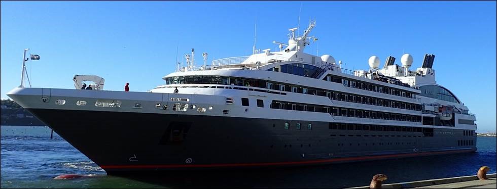
At about 0530 on 9 February 2017, the passenger cruise ship L’Austral began its entry to Milford Sound with an authorised harbour pilot on board.
Because it was dark and there were no external visual navigation aids, the bridge team was using only the ship’s electronic navigation systems to conduct the pilotage.
As the ship was making a turn off Dale Point, the pilot lost awareness of exactly where the ship was, the direction in which it was heading and the effects of the wind and tide on the ship.
Dale Point with the GeoGarage platform (Linz chart)
The L’Austral deviated well off the planned track and struck a stony bank near the shoreline of Milford Sound.
The ship suffered scraping and indentation of the hull on its starboard side, but the hull was not breached and nobody on board was injured.
General area of the accident
The Transport Accident Investigation Commission (Commission report) found that the ship’s crew on the bridge noticed the ship was off its planned track, but did not bring this to the pilot’s attention until it was too late to avert the grounding.
Extract of chart showing route of the L’Austral
The L'Austral's course around Dale Point with rates of turn as ordered
The Commission identified three safety issues:
- the primary means for navigation on board the L’Austral, the electronic chart display and information system, was not being used to its full potential as a tool for planning and monitoring the ship’s passage, and the crew were not fully conversant with its safety features
- the standard of bridge resource management on board the L’Austral during the Milford Sound pilotage did not meet good industry practice
- conducting ‘blind pilotage’ with large ships in confined waters represented risks that had not been fully considered by Environment Southland, the regional authority that regulates maritime activity in the area.
Chartlets showing typical tracks for rounding Dale Point
The Commission had previously found that poor bridge resource management under pilotage was a factor contributing to accidents involving two other ships in New Zealand.Their two reports had made several recommendations aimed at improving the standard of pilotage and making the transition of the pilot into the ship’s bridge team seamless.
Diagram showing ECDIS safety parameters
Key lessons arising from this inquiry were:
- a ship’s passage plan is more than just the planned track for the ship to follow. Every part of a ship’s voyage must be planned and all members of the bridge team be fully familiar with and agree to the plan. This is a cornerstone of good bridge resource management
- good bridge resource management relies on a culture where challenge is welcomed and responded to, regardless of rank, personality or nationality
- an electronic chart display and information system is a valuable aid to navigation. However, mariners need to fully understand and be familiar with all aspects of the system, particularly when using it for blind pilotage.
- Safety4Sea : Proper ECDIS settings in navigational waters
- Work Boat : Electronic chart display and ‘techno-rapture’


No comments:
Post a Comment