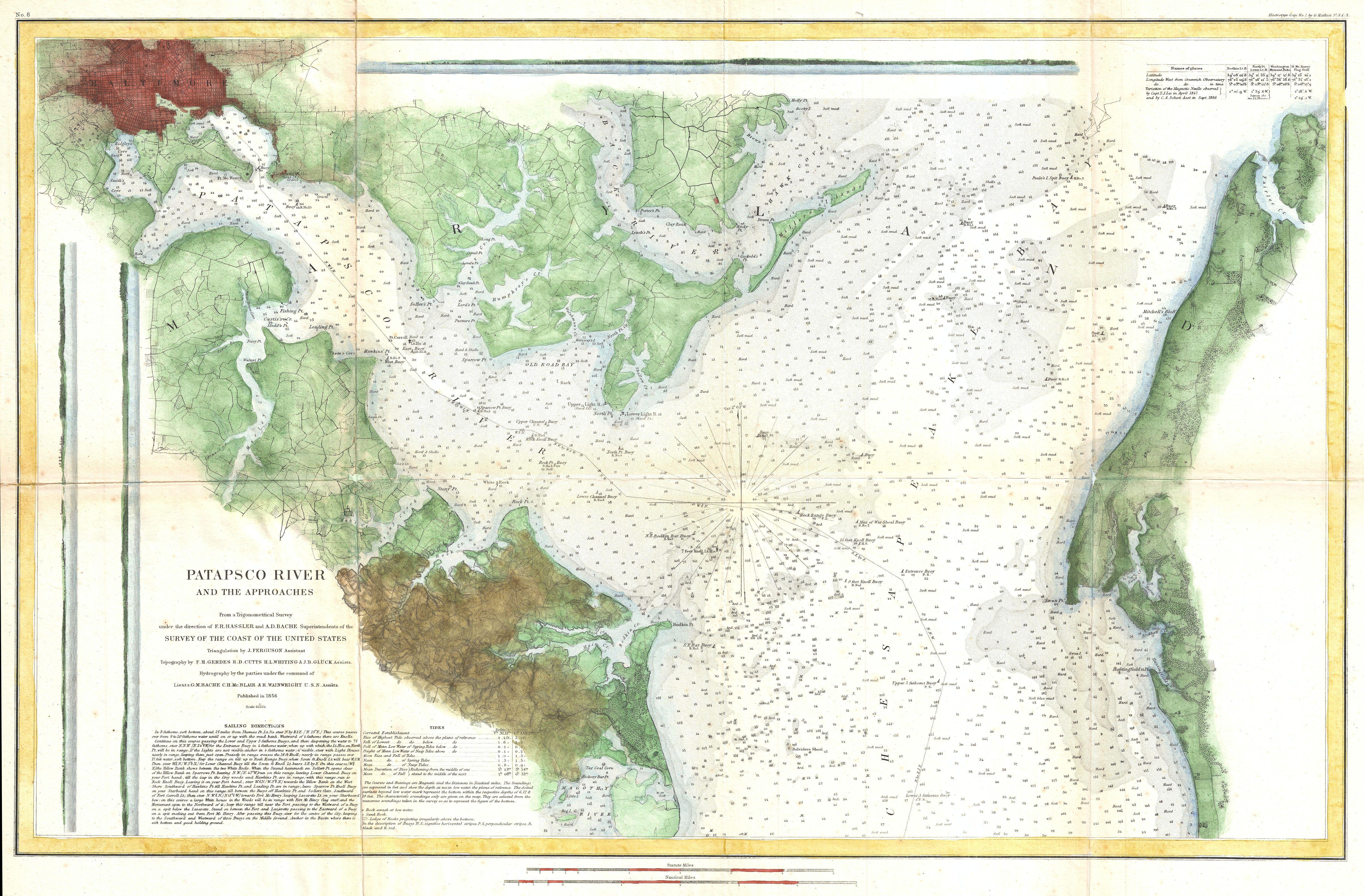
Patapsco River, Chesapeake Bay, Baltimore 1856

Patapsco River, Chesapeake Bay, Baltimore with the GeoGarage platform (2018 NOAA chart)
 Plymouth, MA (1857, scale 1:20,000)

Plymouth, MA with the GeoGarage platform (2018 NOAA chart)

Plymouth, MA with the GeoGarage platform (2018 NOAA chart)
_-_Geographicus_-_SanAntonioCreek-uscs-1857.jpg)

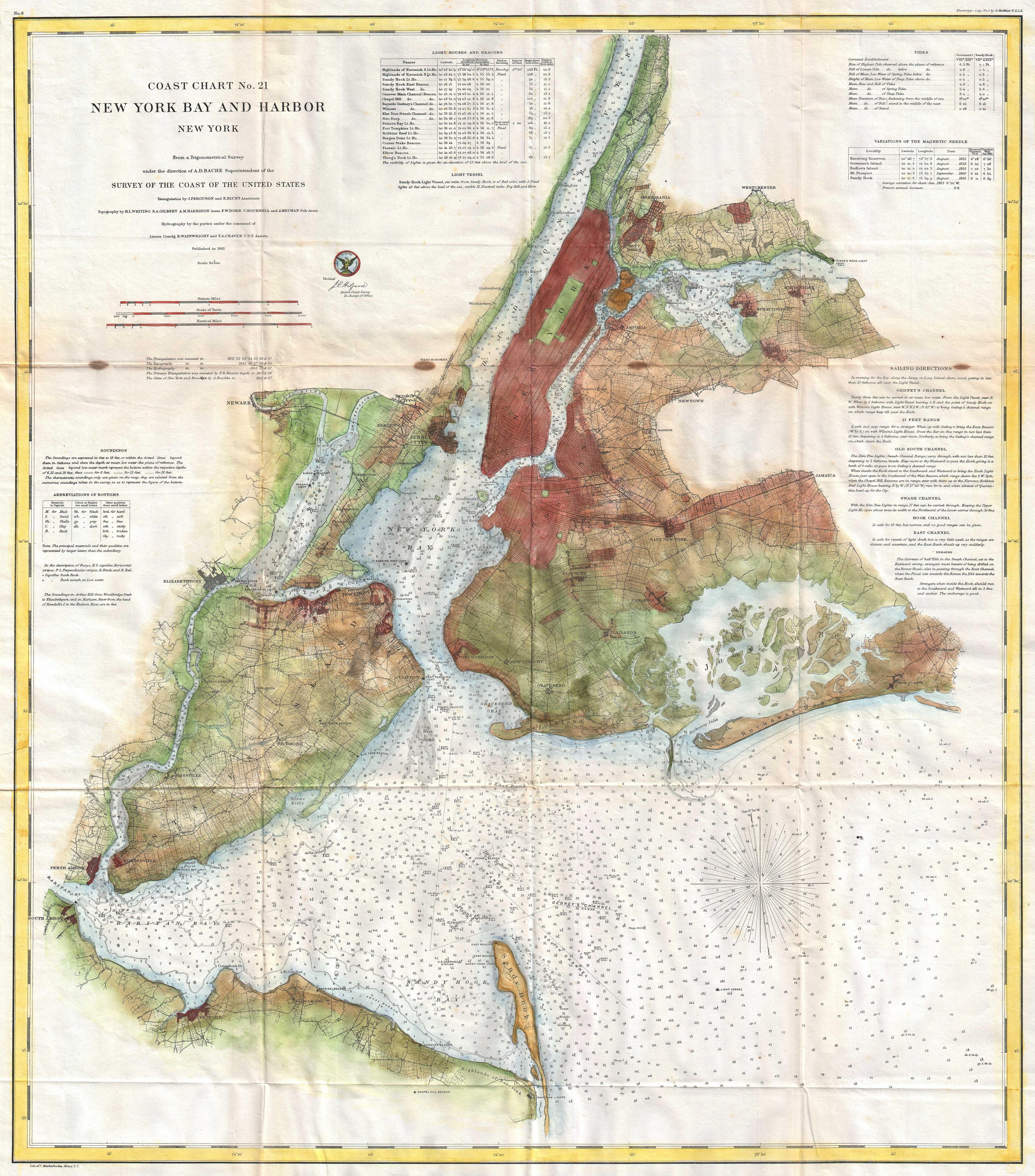
New York Bay and Harbor 1861

New York Bay and Harbor with the GeoGarage platform (2018 NOAA chart)
Links :
- NOAA : Charting History
No comments:
Post a Comment