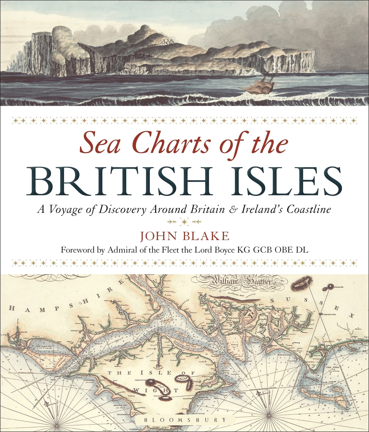
Sea Charts of the British Isles, a 2005 book that is getting a paperback edition in next April.
Traveling along the British coastline, Sea Charts of the British Isles showcases a beautiful collection of charts containing a wealth of information about Britain's maritime history and the story of charting and surveying itself.

A 1482 recreation of a map from Ptolemy's Geography (2nd century)
showing the "Oceanus Germanicus", Great Britain & Ireland

River Thames by Captn Collins
 Pland of the bay and harbour of Conway by Lewis Morris, 1748
Examples include several from Collins' “Great Britain's Coastal Pilot,” such as charts of Edinburgh and the Forth, the Orkney Islands, the coast of Ireland and the River Thames; the Chart of the Coast of Wales in St George's Channel and that of Milford Haven by Lewis Morris; The River Clyde and Glasgow by John Watt; and the Observation by Trinity House Pilots and Surveyors of the Downs covering the coast of Kent and the Goodwin Sands, as well as charts by other well-known European chart-makers, such as the magnificent example of the Coast of England from Dover to the Isle of Wight showing the Cinque Ports by Lucas Janszoon Wagenaer that dates from 1583.

Lewis Morris' coastal charts of Wales.
In 1748 Admiralty encouraged the
publication of Morris private survey of the Welsh coast and individual
harbour plans.
John Blake, the author has researched maritime archives including the Admiralty Library, the National Maritime Museum, the Pepys Library, the UK Hydrographic Office, and the National Archives to reveal their unseen nautical records and portray the development of the sea chart.
Links :
- GeoGarage blog : The Sea Chart by John Blake
No comments:
Post a Comment