
DGA raster maps in the GeoGarage platform
 ENC Faroë coverage in the GeoGarage platform (ArcGIS JS viewer) :
more raster charts than ENCs available

more raster charts than ENCs available
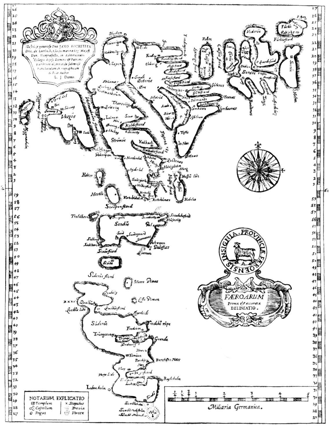
FÆROARUM – Prima & accurata delineatio.
Hanc veterrimam tabulam insularum Lucas Debes anno 1673 fecit.

Fisrt accurate triangulation of the Faroes

The Faroe islands (Føroyar) became a self governing community of the Danish Commonweath
on April 1, 1948 and are administrated from Tórshavn.
(raster chart with the GeoGarage and Google Maps viewer)

on April 1, 1948 and are administrated from Tórshavn.
(raster chart with the GeoGarage and Google Maps viewer)

comparaison with ENC chart in the GeoGarage platform and Bing maps imagery
No comments:
Post a Comment