using official nautical charts from official Hydrographic Office
From AMSA & Safety4Sea
MARINE NOTICE 16/2014
Official Nautical Charts
This marine notice draws attention to the importance of using official nautical charts, issued by or on the authority of a Government, authorized Hydrographic Office or other relevant government institution so as to comply with applicable flag state requirements which implement Chapter V of the International Convention for the Safety of Life at Sea (SOLAS), as amended.

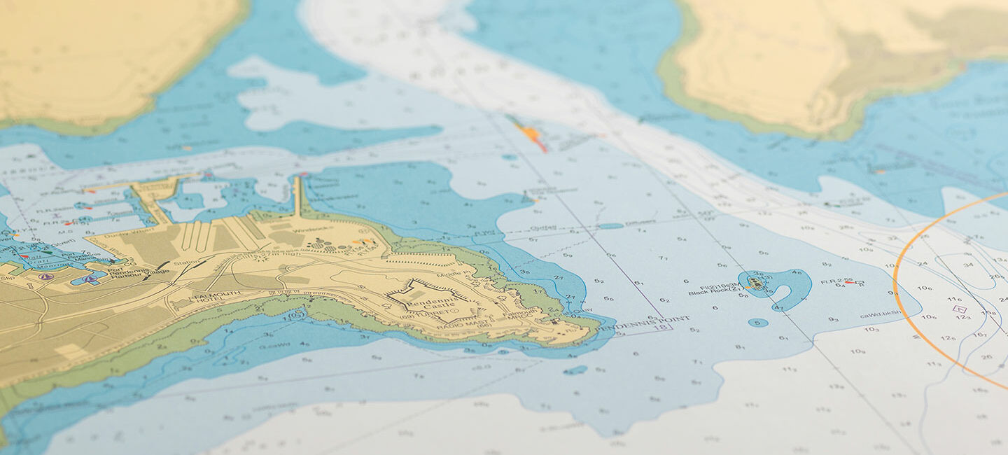
AHS offical raster charts with the Marine GeoGarage
Background
The Australian Maritime Safety Authority (AMSA) has recently observed an increase in the use of unofficial nautical charts on board ships for navigation.
Australia’s port State control program has recorded deficiencies and detained ships that have used unofficial nautical charts for navigation.
Unofficial nautical charts include but are not limited to: photocopies, facsimiles or imitations of official paper charts, large format commercial printed copies of scanned Electronic Navigational Charts, and paper charts “assembled” by printing several small portions of a Raster Navigational Chart.
Unofficial copies of nautical charts can be distorted, out of date or may omit important navigational features.
Charts assembled from small scanned portions of official nautical charts may be misaligned and scanning may not capture all details shown on the original official chart.
Unofficial nautical charts cannot be relied upon for voyage planning or position monitoring.
For a nautical chart to be considered adequate for navigational purposes, it must be:
- officially issued,
- the latest edition,
- used in its original form,
- maintained up to date using the latest available notices to mariners, and
- of appropriate scale suitable for the navigational task at hand.
Australian official nautical charts
Australian official paper charts are issued and updated by the Australian Hydrographic Service (AHS) under the “Aus” series and provide bathymetric and near shore coverage of Australia’s area of charting responsibility.
The series is also largely reproduced by the United Kingdom Hydrographic Office as part of their world-wide “Admiralty” chart series.
AHS charts are easily identified by their “Aus” chart numbers and AHS crest above the chart’s title.
There is no other alternative numbering system for “Aus” charts.
The AHS distributes the full portfolio of “Aus” charts via AHS authorised chart agents, who sell and distribute “Aus” charts as “single” paper charts or grouped as “portfolios” of charts.
A list of authorised AHS chart distribution agents is available on the AHS website at: www.hydro.gov.au.
How to recognise unofficial nautical charts
To identify unofficial nautical charts, a comparison can be made with a genuine official AHS chart. The “look and feel” comparison may raise suspicions that a chart is unofficial.
An unofficial nautical chart may have:
- ink of a different colour (and is not simply black and white);
- inconsistent colour across the chart;
- colours that can be erased; or
- different paper weight or feel.
In cooperation with AMSA, AHS will actively seek to stop the production and sale of unofficial copies of AHS products.
Recommendations
Ship owners, operators, agents and masters are advised to check and comply with their obligations regarding the carriage of official nautical charts.
AMSA reminds ship owners, operators, agents and masters that the carriage of up to date nautical charts is critical to safe navigation.
AMSA urges all purchasers, users, marine surveyors and recognized organizations to be vigilant in the identification and reporting of unofficial nautical charts.
Links :
No comments:
Post a Comment