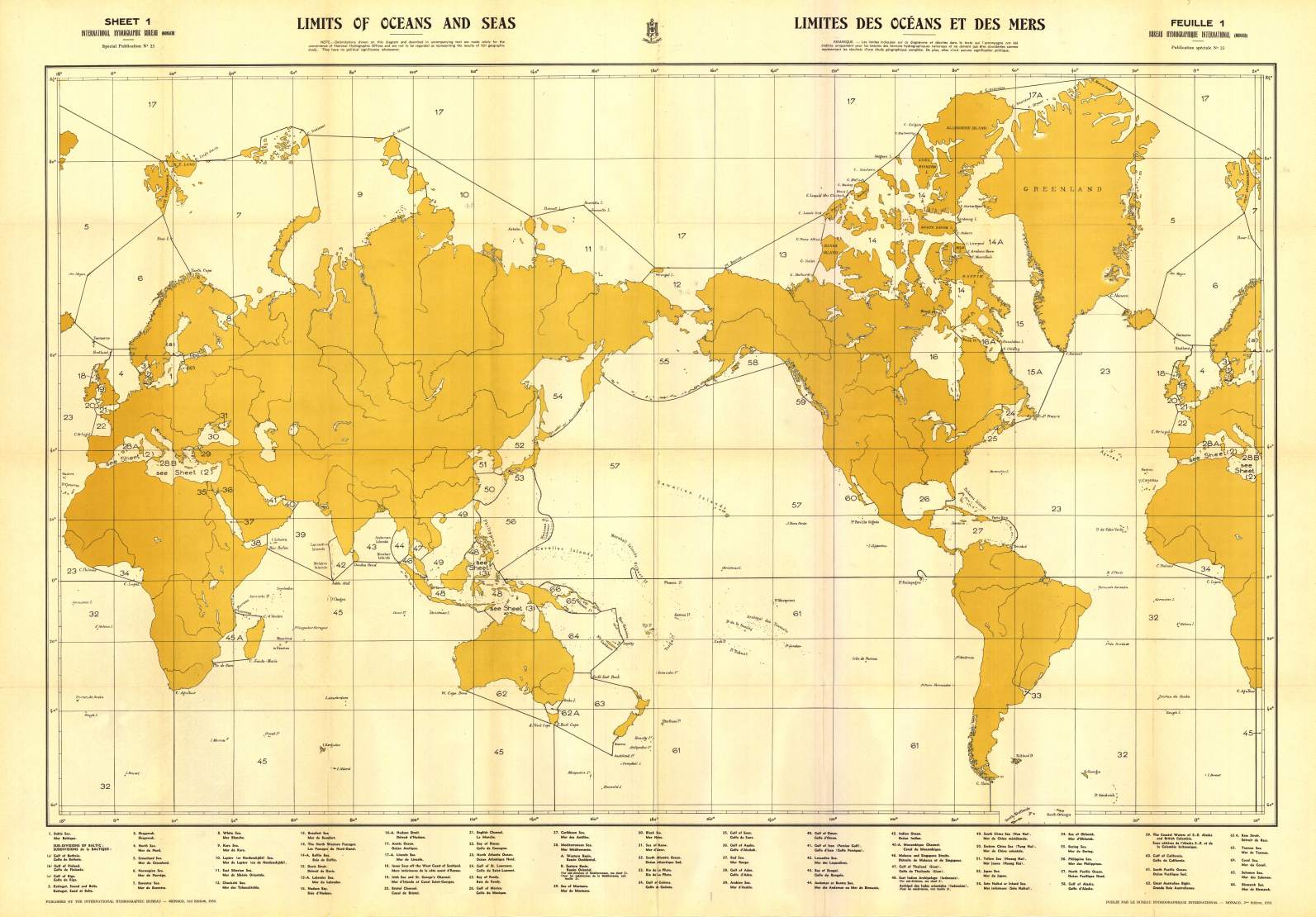
The International Hydrographic Organization (IHO) has reached agreement on a proposal to mark global sea areas with unique numerical identifiers rather than specific names, the foreign ministry said Tuesday.
The consensus, likely to be finalized early next month, capped decades of diplomatic efforts by Seoul to revise the existing IHO guidelines referring to the body of water between the Korean Peninsula and Japan only as the Sea of Japan, rather than the South Korean name East Sea.
During a virtual session of the IHO Assembly on Monday, 65 member states joined the discussions on the proposal to adopt a new digital dataset, known as S-130, as a standard for a world map of oceans, as the current one, dubbed S-23, remains outmoded.
IHO Secretary General Mathias Jonas has made the proposal amid persistent disputes over sea naming and other issues among IHO member states.
East Sea or Sea of Japan?
Numbers to replace specific names of seas
"Assembly Chair Marc Van der Donck said in the closing remarks that during the development of the new standards designating geographical sea areas only with unique numerical identifiers, the S-23 will be made public as an IHO publication to demonstrate the evolutionary process from the analogue to the digital era, and he concluded the proposal by consensus," the ministry said in a statement.
The ministry stressed that the participants accepted by consensus the original version of the IHO secretary general's proposal that the S-23 will be made public not as a valid standard but only as a publication displaying the evolutionary transition to a new one.
The ministry dismissed as "distortion" a Japanese news report that, based on the outcome of this week's IHO Assembly discussions, the Sea of Japan will continue to be used for international nautical charts, with the numerical identifiers used only for digital charts.
 Detail of 1977 South Korean map that appears to be a copy of 1960 Japanese Coast Guard map
- Korea JoongAngDaily : Korea, Japan both claim victory as East Sea is relabeled by IHO
- JapanForward : Strange Korean Map Shows ‘East Sea’ Written for Two Different Water Bodies
- EastSea1994 : Reflections on the IHO S-23 and the Naming of East Sea
- EastSea Korea : Sea of Japan naming dispute
- GeoGarage blog : "Sea of Japan" "Sea of Korea" or "East Sea" / Japanese government urges boycott of ... / Dokdo island: A case study in Asia's ... / The naming of seas: the associated ... /
Japan offers archival evidence in island ...


The Diplomat : South Korea’s Fight Against the ‘Sea of Japan’ Pays Off"
ReplyDelete