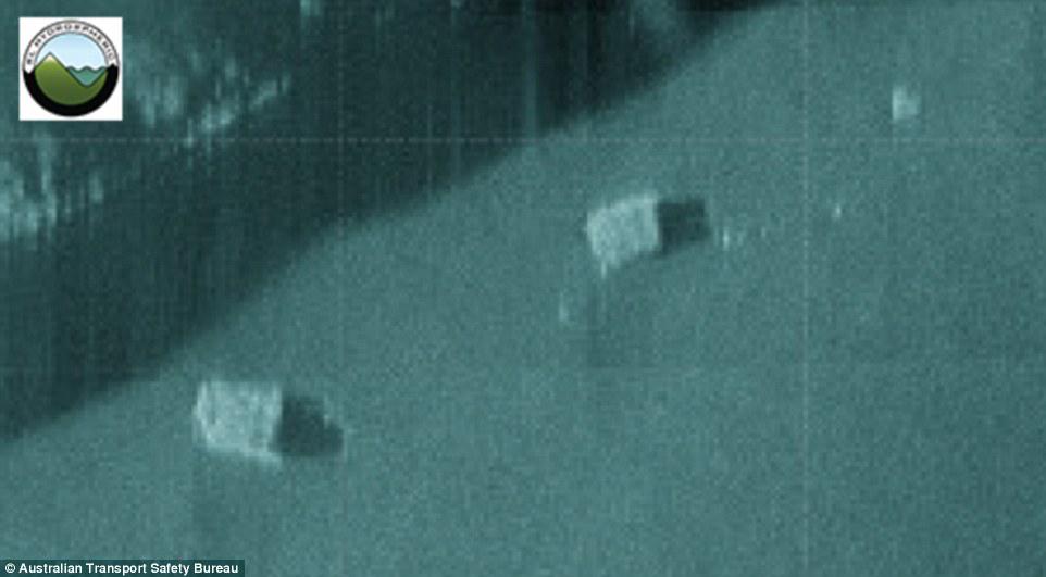
A short film describing the processes of bathymetric mapping and side scan sonar, used to gather data within the search area for missing Malaysia Airlines flight MH370.
About this video: Geoscience Australia has been applying specialist marine geoscience knowledge and capability to assist in the search for missing Malaysia Airlines flight MH370.
With existing experience and capabilities supporting management of Australia’s vast marine jurisdiction, Geoscience Australia is providing ongoing expert advice to the international search team, led by the Joint Agency Coordination Centre and the Australian Transport Safety Bureau.
Specialist advice regarding bathymetry, the study and mapping of sea floor topography, has proved critical in understanding the environment in which the search is operating.
This video describes the key processes of bathymetric mapping and side scan sonar, which are used to gather data within the search area for missing Malaysia Airlines flight MH370.
Sonar images could reveal MH370 in Indian Ocean

No comments:
Post a Comment