33 charts have been updated in the Marine GeoGarage
(NOAA update January/February 2013)- 11325 Houston Ship Channel Carpenters Bayou to Houston
- 11339 Calcasieu River and Approaches
- 11363 Chandeleur and Breton Sounds
- 11420Havana to Tampa Bay
- 11441Key West Harbor and Approaches
- 11478Port Canaveral;Canaveral Barge Canal Extension
- 11541Intracoastal Waterway Neuse River to Myrtle Grove Sound
- 12207 Cape Henry to Currituck Beach Light
- 12337Passaic and Hackensack Rivers
- 12367 North Shore of Long Island Sound Greenwich Point to New Rochelle
- 13285 Portsmouth to Dover and Exeter
- 13313 Approaches to Blue Hill Bay
- 14867 Saginaw River
- 17315 Gastineau Channel and Taku Inlet;Juneau Harbor
- 17420 Hecate Strait to Etolin Island. including Behm and Portland Canals
- 19386Kaua'i Approaches to Waimea Bay
- 81071 Commonwealth of the Northern Mariana Islands Bahia Laolao. Saipan Island and Tinian Harbor. Tinian Island
- 11328 Houston Ship Channel Atkinson Island to Alexander Island
- 11332 Sabine Bank
- 11377 Mobile Bay Approaches and Lower Half
- 11391 St. Andrew Bay
- 11446 Intracoastal Waterway Sugarloaf Key To Key West
- 11462 Fowey Rocks to Alligator Reef
- 12206 Intracoastal Waterway Norfolk to Albemarle Sound via North Landing River or Great Dismal Swamp Canal
- 12248 James River Newport News to Jamestown Island; Back River and College Creek
- 12252 James River Jordan Point to Richmond
- 12264 Chesapeake Bay Patuxent River and Vicinity
- 13318 Martha's Vineyard to Block Island
- 17336 Harbors in Charham Strait and vicinity Gut Bay. Chatham Strait;Hoggatt Bay. Chatham Strait;Red Bluff Bay. Chatham Strait;Herring Bay and Chapin Bay. Frederick Sound;Surprise Hbr. and Murder Cove. Frederick Sound
- 18460 Stait of Juan de Fuca Entrance (includes Metric version)
- 18480 Approaches to Strait of Juan de Fuca Destruction lsland to Amphitrite Point
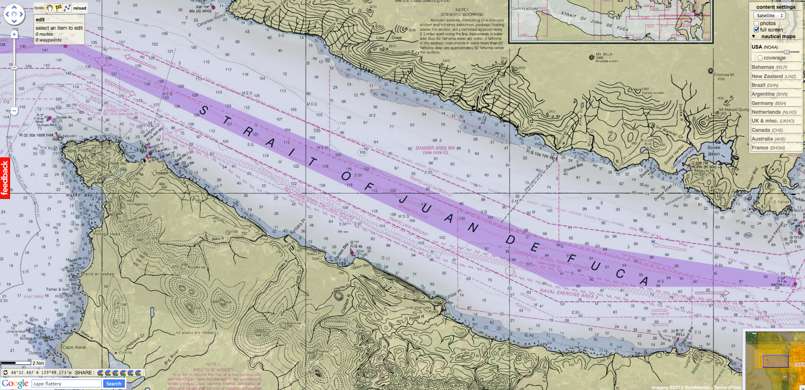
- 18485 Cape Flattery
- 81076 Commonwealth of the Northern Mariana Islands Saipan Harbor
Note : NOAA updates their nautical charts with corrections published in:
- U.S. Coast Guard Local Notices to Mariners (LNMs),
- National Geospatial-Intelligence Agency Notices to Mariners (NMs), and
- Canadian Coast Guard Notices to Mariners (CNMs)
Please visit the NOAA's chart update service for more info.
No comments:
Post a Comment