
Queen Mary 2 to race lightweight trimarans in The Bridge 2017
The race will mark the 100th anniversary
of American troops landing in France during World War I.
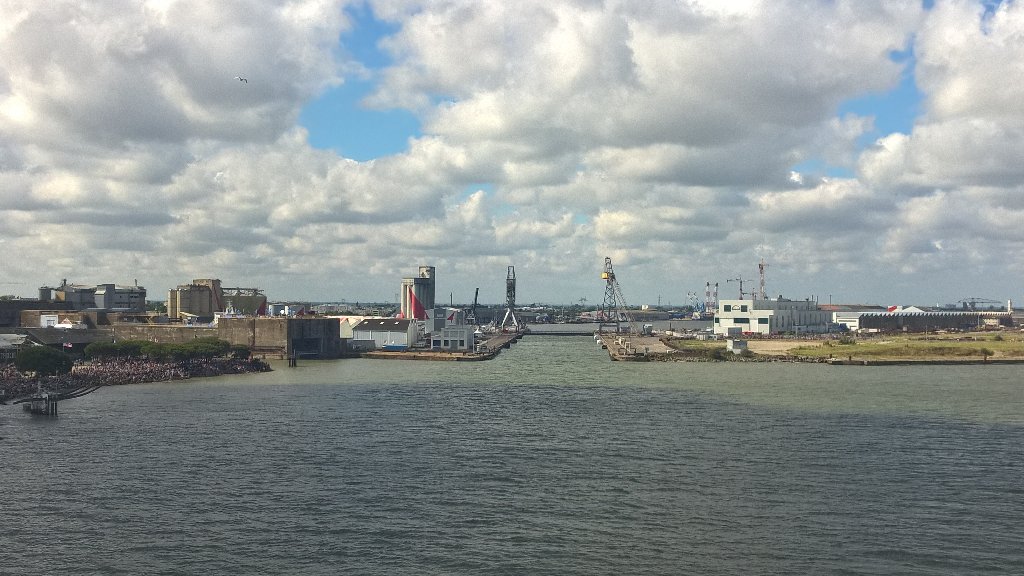
The data of the issue : Queen Mary (345 m / 41 m) versus the Joubert lock (350 m / 50 m.)
The ship must enter in for parking...
The ship must enter in for parking...
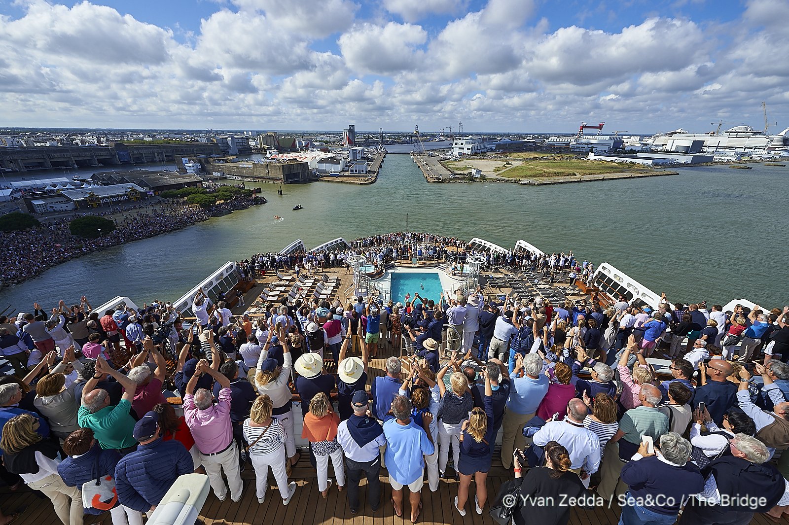
In front of the Joubert lock
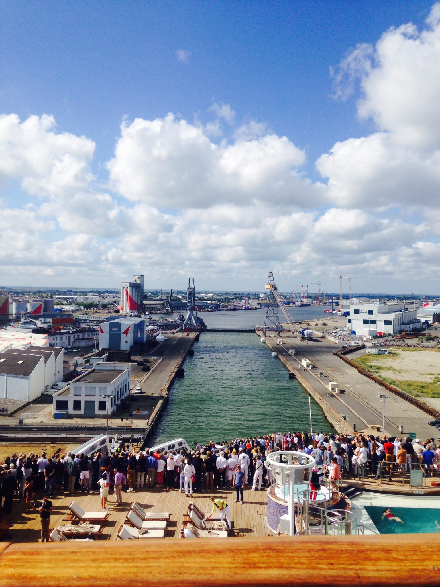
Ready to enter
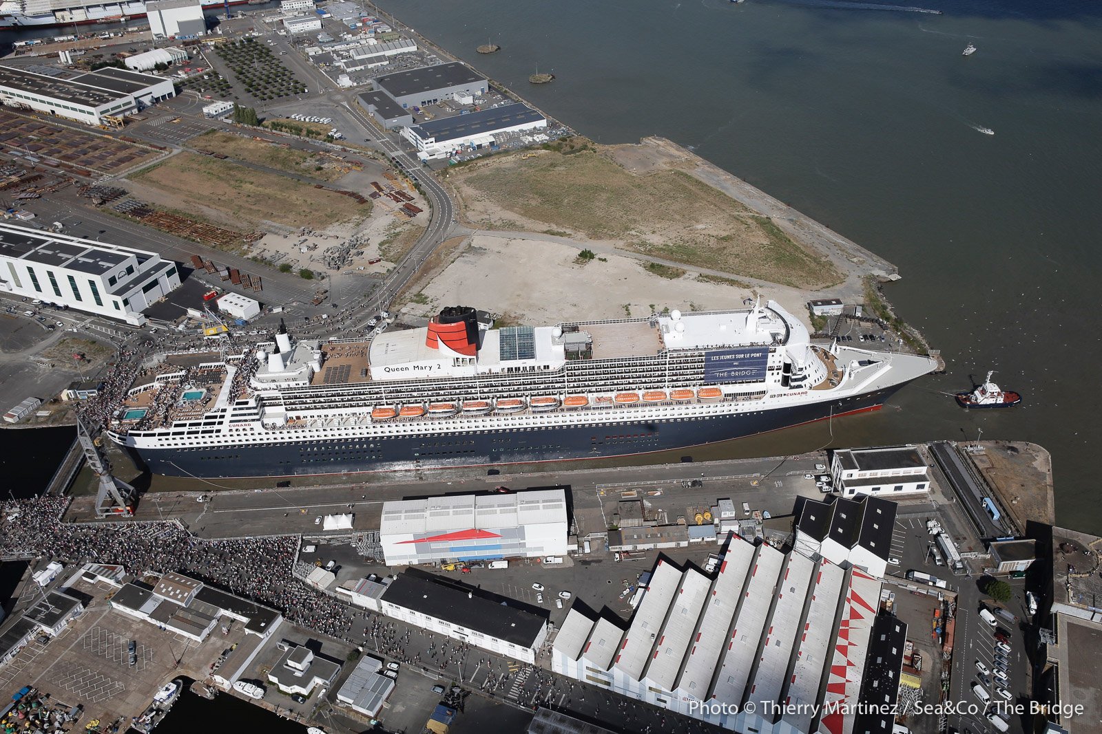
That's it !


Views from W4D 2.0 iOS mobile app with display of the dimensions of the ship.
You can notice some shift in the display of the ship localization, probably due to the unspecified manually registered data setting sent by the QM2 AIS transceiver (XY offset of the AIS GPS antenna position compared to the ship geometry) : see reference point.
The width for display is the waterline beam (41 m) and not the one at the bridge level (45 m).
Length: 1,132 ft (345.03 m)
Beam :135 ft (41 m) waterline VS 147.5 ft (45.0 m) extreme (bridge wings)
so a difference of width of 4 m, around 8% of the Joubert lock width.
Ship dimensions and AIS GPS antenna reference point should be obtained from AIS Class A within a 1 minute (in worst cases it might be up to 6 minutes by AIS IEC 61993 Ed2 standard).
It is recommended to use the ‘Conning Station’ position at the midship line,
Conning Station reference point (CRP) is the main reference point and GPS data recalculates to the specified Conning Station Position.


Position of the QM2 received by the own AIS antenna
installed in the GeoGarage offices in Nantes
installed in the GeoGarage offices in Nantes
 SHOM largest scale raster chart (6797 1:15 000 in overzoom) issued from the GeoGarage platform
overlaid on Google Maps imagery
 SHOM ENC largest scale chart (FR567970 1:12000) issued from the GeoGarage platform

overlaid on Google Maps imagery
No comments:
Post a Comment