
The Marine GeoGarage has launched a business-to-business online mapping service with worldwide nautical charts with a new API (Application Programming Interface), which is already in use by a number of public and private-sector organizations.
The API provides immediate online access to the most complete and highest quality nautical raster map data coming directly from the major international Hydrographic Offices.
It offers single-source access to premium map data at a variety of scales from the GeoGarage Cloud Computing solution through its tile mapping service (TMS).
The GeoGarage hosts all map data, which saves significant time and costs as organizations avoid the need to store and manage the data in-house.
Map data is presented in a seamless mode and is more cost effective and easier to use, as time-consuming translations to different data formats are not required.
Built on industry standards, the GeoGarage works across all browsers and operating systems.
It may be used in conjunction with or to supplement existing web-based map viewing applications built around Google Maps, Microsoft Bing or OpenLayers applications for example.
The new GeoGarage service can be used across a range of maritime business sectors with a variety of applications, mainly by software-as-a-service (SaaS) solutions for managing marine vessels or robots tracking (via AIS or satellite).
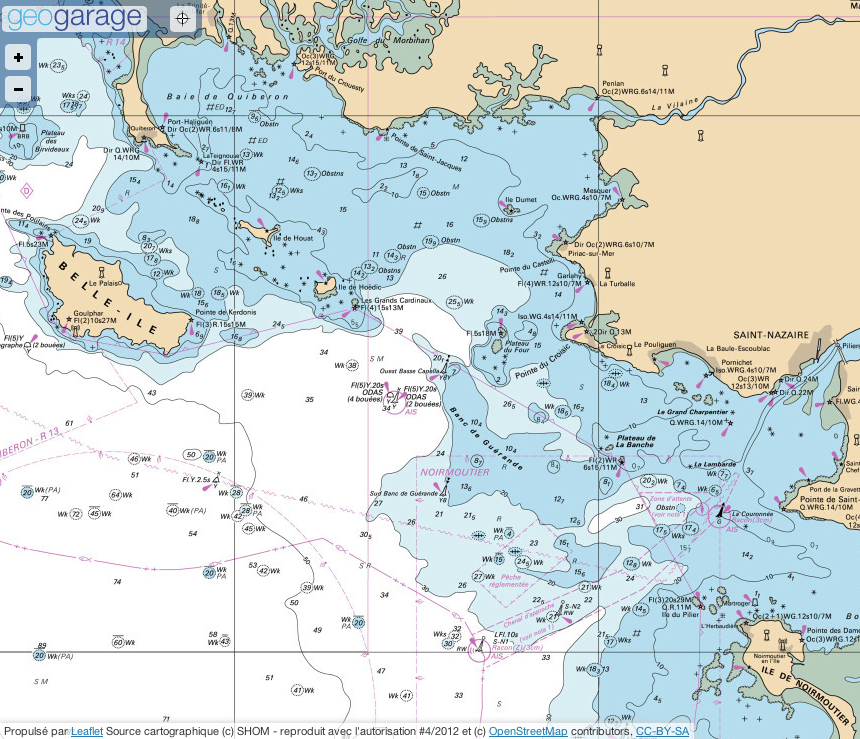
example of Marine GeoGarage widget
(Voiles et Voiliers)
(Voiles et Voiliers)
"The creation of the B2B service responds to the growing demand of our customers who wish to develop an integrated webmapping solution benefiting from official and regularly updated nautical charts.
The GeoGarage provides a custom API for customers interested in accessing our marine map layers and integrating them into their own products.
We make it easy for customers to quickly and easily integrate our nautical layers onto a new or existing Google Map.
With just a few lines of code you get all the GeoGarage functionality without all the setup hassle.
We provide a convenient and reliable service that has helped our partners enhance the value of their sites.".

More than 9000 nautical charts accessible through the API
With the GeoGarage, nautical mapping enters in the area of dematerialization : the platform has the vocation to be the largest broadcaster for nautical maps.
Through data licenses from official worldwide Hydrographic Services, GeoGarage combines all the georeferenced charts from USA, Canada, Brazil, Argentina, UK, Netherlands, Belgium, Germany, France, Spain, Portugal, Croatia, Island, South Africa, Australia, New Zealand, Bahamas.
Other countries are being studied.
Pricing is set through some monthly subscriptions according to desired geographical coverage.Through data licenses from official worldwide Hydrographic Services, GeoGarage combines all the georeferenced charts from USA, Canada, Brazil, Argentina, UK, Netherlands, Belgium, Germany, France, Spain, Portugal, Croatia, Island, South Africa, Australia, New Zealand, Bahamas.
Other countries are being studied.
Features:
- Over 9,000 Nautical Charts
- Javascript API Interface
- Built-in chart and navigation user controls
- Full access to Google Maps API
- Highly customizable map
Pricing :
Contact us to discuss your needs.
No comments:
Post a Comment